
- FLORAC TROIS RIVIERES
Tourist on bicycle
33 Avenue Jean Monestier
-
48400 FLORAC TROIS RIVIERES
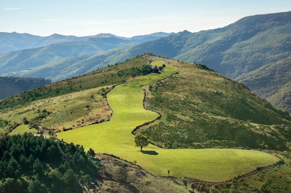
With this route, discover the south of Lozère, at the boundary between the department of Lozere and Gard and do the ascent of Mont Aigoual. Culminating at 1567m altitude summit offers stunning views of the valley and of the surrounding departments.
• Max altitude : 1515 m
• Min altitude : 447 m
• Average altitude : 840 m
1. From FLORAC to MEYRUEIS
Distance : 34Km
Level : Average
2. From MEYRUEIS to LE POMPIDOU
Distance : 65Km
3. From LE POMPIDOU to BARRE-DES-CEVENNES
Distance : 14Km
Level : Average
4. From BARRE-DES-CEVENNES to FLORAC
Distance : 18,5Km
Level : Easy


Information updated on 16/09/20 / Report an error on this offer !