- MENDE
Motorcycle
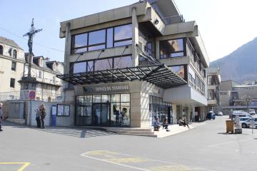
Office de Tourisme Place du Foirail
-
48000 MENDE
Reception
Min height : 480 m
Max height : 1420 m
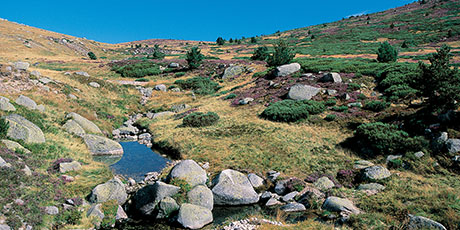
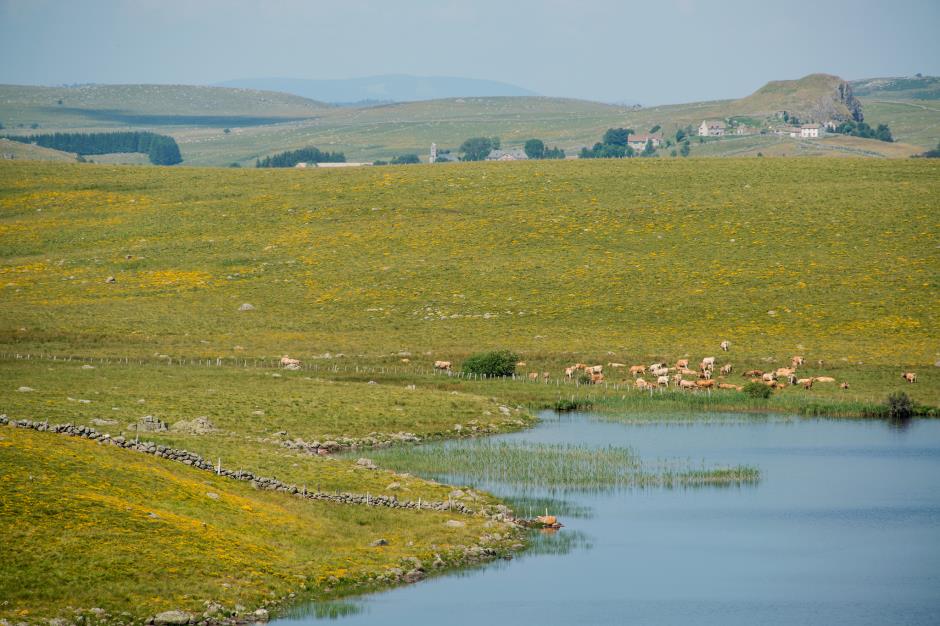
Natural regions : Aubrac • Margeride • Cevennes • Mont Lozere • Vallee du Lot • Gorges du Tarn • Causse de Sauveterre
Territories : Grands Sites des Gorges du Tarn, de la Jonte et des Causses • Aubrac Regional Nature Park • National Park of the Cevennes • Perimeter UNESCO Causses and Cevennes
Itinerary
Distance : 287 km
Duration in hours : 05:40 h
Loop itinerary : yes
1. From MENDE - Office de Tourisme to PONT DE MONTVERT - SUD MONT LOZERE - Le Pont-de-Montvert
Distance : 50,5Km
Duration : 01:00
2. From PONT DE MONTVERT - SUD MONT LOZERE - Le Pont-de-Montvert to GORGES DU TARN CAUSSES - Sainte-Enimie
Distance : 43,7Km
Duration : 00:55
3. From GORGES DU TARN CAUSSES - Sainte-Enimie to LA CANOURGUE - La Canourgue
Distance : 25,7Km
Duration : 00:35
4. From LA CANOURGUE - La Canourgue to NASBINALS - Nasbinals
Distance : 49,3Km
Duration : 01:00
5. From NASBINALS - Nasbinals to PEYRE EN AUBRAC - Aumont-Aubrac
Distance : 22,9Km
Duration : 00:22
6. From PEYRE EN AUBRAC - Aumont-Aubrac to SAINT-CHELY-D'APCHER
Distance : 9,8Km
Duration : 00:12
7. From SAINT-CHELY-D'APCHER - Saint-Chély-d'Apcher to SAINT-ALBAN-SUR-LIMAGNOLE - Saint-Alban-sur-Limagnole
Distance : 15,9Km
Duration : 00:16
8. From SAINT-ALBAN-SUR-LIMAGNOLE - Saint-Alban-sur-Limagnole to CHATEAUNEUF-DE-RANDON - Châteauneuf-de-Randon
Distance : 40,3Km
Duration : 00:45
9. From CHATEAUNEUF-DE-RANDON - Châteauneuf-de-Randon to MENDE - Mende
Distance : 29,2Km
Duration : 00:35
Information updated on 10/02/20 / Report an error on this offer !

