
- MENDE
Tourist on bicycle
Place du Foirail
-
48000 MENDE
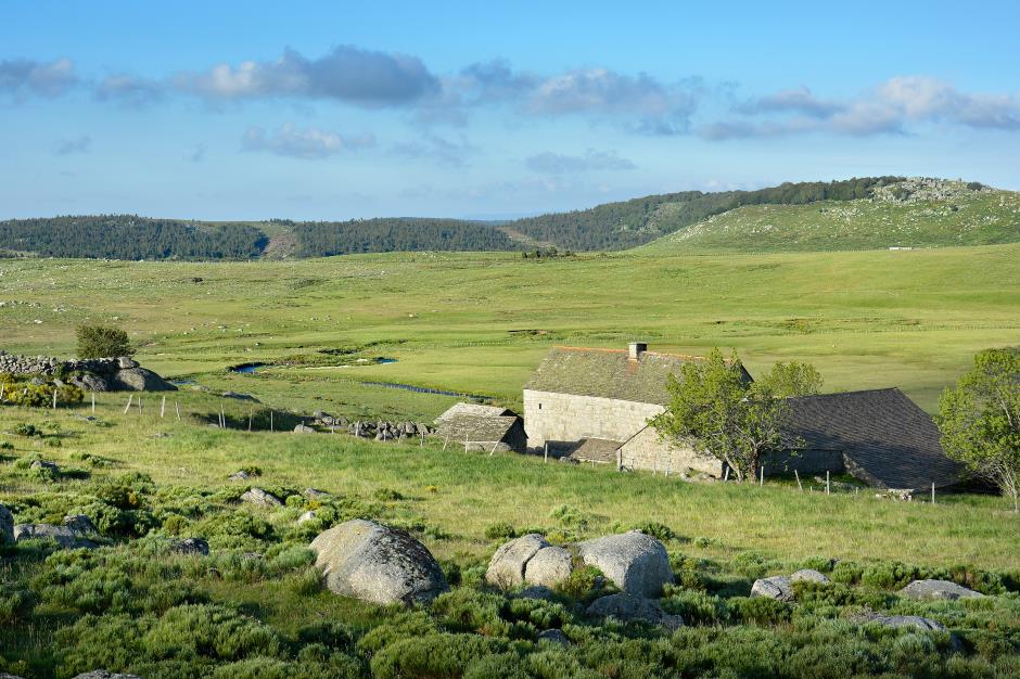
Le Mont Lozère is the highest point of the Lozère department, alongside the altitude of 1700m. It gave its name to the department and offers stunning views over the valleys that surround it.
• Max altitude : 1546 m
• Min altitude : 573 m
• Average altitude : 931 m
Reception
Min height : 573 m
Max height : 1546 m
Natural regions : Cevennes • Mont Lozere
Territories : Perimeter UNESCO Causses and Cevennes
Itinerary
Distance : 101 km
Negative difference : 2040 m
Positive difference : 2040 m
Loop itinerary : yes
1. From MENDE to BRENOUX
Distance : 8,5Km
2. From BRENOUX to LES BONDONS
Distance : 19,5Km
Level : Average
3. From LES BONDONS to COCURES
Distance : 8,4Km
Level : Easy
4. From COCURES to LE PONT-DE-MONTVERT
Distance : 14,6Km
Level : Easy
5. From LE PONT-DE-MONTVERT to LE BLEYMARD
Distance : 22,5Km
6. From LE BLEYMARD to MENDE
Distance : 27,5Km
Level : Easy
")


—Non renseigné")
Information updated on 16/09/20 / Report an error on this offer !