
- SAINT-CHELY-D'APCHER
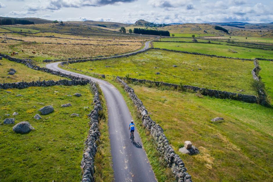
Tourist on bicycle
48200 SAINT-CHELY-D'APCHER
Aubrac, where the average altitude is 1200m, offers magnificent landscapes where cows "Aubrac" likes graze there. Bes Valley starts close to Nasbinals, area lakes and bogs. This vast basaltic plateau extends to the horizon and promises you the moon.
• Max altitude : 1265 m
• Min altitude : 955 m
• Average altitude : 1094 m
1. From Saint-Chely-d'Apcher to Fau-de-Peyre
Distance : 9Km
Height difference : +245m
Duration : 00:20
2. From Fau-de-Peyre to Col des Issartets
Distance : 16Km
Level : Average
Height difference : +226m
Duration : 00:30
3. From Col des Issartets to Nasbinals
Distance : 22Km
Level : Average
Height difference : +299m
Duration : 00:50
4. From Nasbinals to Granvals
Distance : 7Km
Level : Easy
Height difference : +6m
Duration : 00:20
5. From Grandvals to Fournels
Distance : 15Km
Height difference : +198m
Duration : 00:30
6. From Fournels to Saint-Chély-d'Apcher
Distance : 15Km
Level : Easy
Height difference : +238m
Duration : 00:20

—Julian SUAU")


MUSEUM OF METALLURGY
Museum mailing vocation of the scientific and technical culture
SAINT-CHELY-D'APCHER
")


MONTS DU MIDI TOURISME
SAINT-CHELY-D'APCHER
Information updated on 27/01/21 / Report an error on this offer !