
GORGES DU TARN & JONTE - GORGES DU TARN CAUSSES
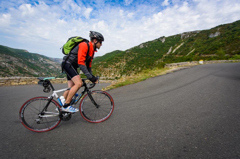
Tourist on bicycle
GORGES DU TARN & JONTE
48210 GORGES DU TARN CAUSSES
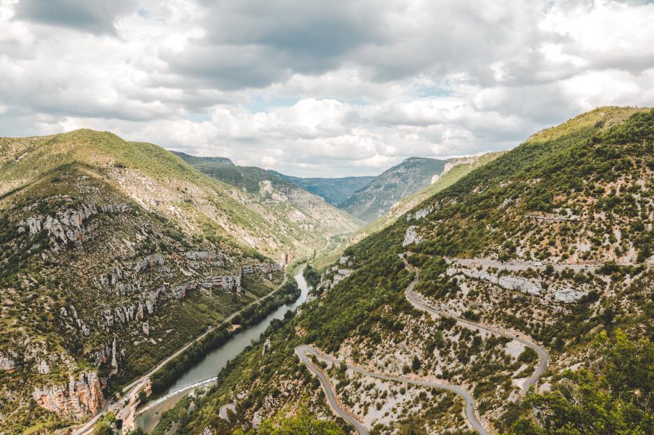
106 kilometers, two Causses and two Gorges, you take up the challenge? It will have to go down, up, down and up! A route of climbs and speeds where the calves heat but where the hearts are excited at the sight of the monumental walls of the Gorges du Tarn and the creeks of the Jonte. After having met the drought of Caussenarde, take a break at the turn of a meander to refresh you in the shimmering waters which reveal these Gorges always more imposing.
Reception
Min height : 395 m
Max height : 1005 m
Natural regions : Gorges du Tarn • Gorges de la Jonte • Causse de Sauveterre • Causse Mejean
Territories : Grands Sites des Gorges du Tarn, de la Jonte et des Causses • Perimeter UNESCO Causses and Cevennes
Itinerary
Level : Hard
Distance : 106 km
Duration in days : 0,5 j
Duration in hours : 03:40 h
Positive difference : 2185 m
Loop itinerary : yes
1. From Sainte-Enimie to La Malène
Distance : 22Km
Height difference : +725m
Duration : 00:55
2. From Meyrueis to Le Rozier
Distance : 22Km
Level : Average
Height difference : +142m
Duration : 00:45
3. From Le Rozier to Le Point Sublime
Distance : 22Km
Height difference : +775m
Duration : 01:00
4. From Le Point Sublime to La Malène
Distance : 24Km
Level : Easy
Height difference : +0m
Duration : 00:40
5. From La Malène to Sainte-Enimie
Distance : 16Km
Level : Average
Height difference : +300m
Duration : 00:20


—Photos non libres de droit")

Information updated on 16/04/24 / Report an error on this offer !