
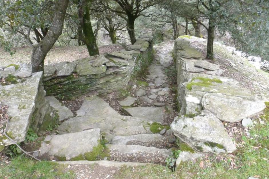
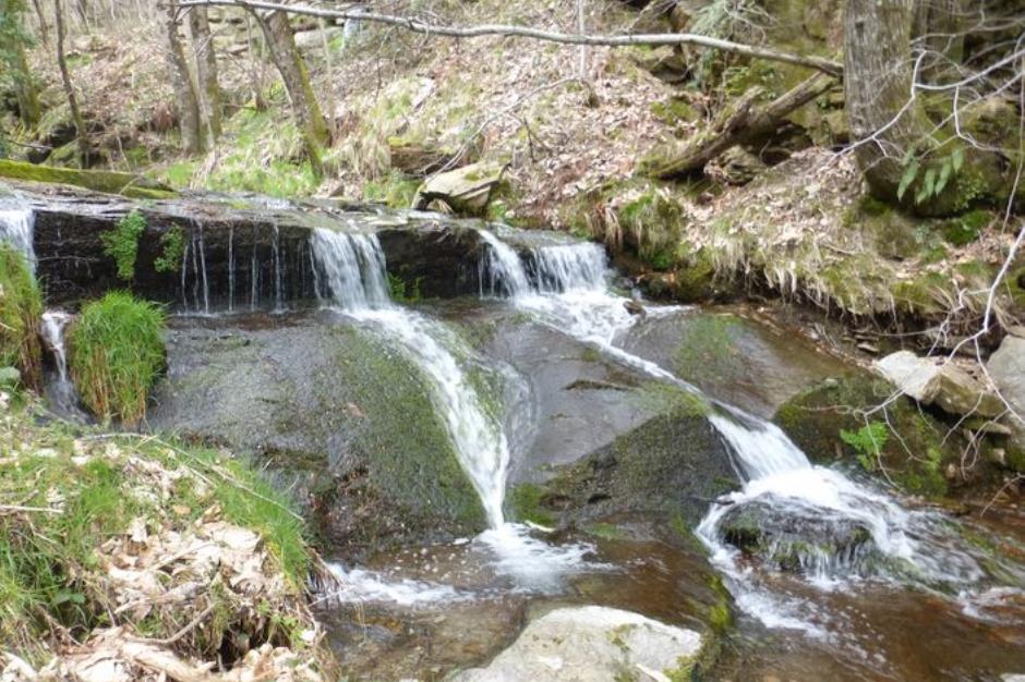
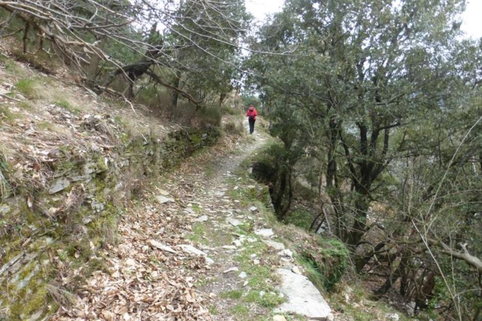
La Flandonenque - SAINT-GERMAIN-DE-CALBERTE
Reception
Min height : 522 m
Max height : 771 m
Natural regions : Cevennes
Territories : National Park of the Cevennes
Document language : French
Itinerary
Beacon : Yellow PR
Level : Medium
Distance : 9.2868 km
Duration in hours : 04:00 h
Negative difference : 521 m
Positive difference : 522 m
Loop itinerary : yes
Access : In Saint-Germain-de-Calberte, take the road towards Lou Serre de la Can. After about 2 km, take the first turning on the right towards La Bernadelle / Le Cros. Park where the lane exits the hamlet of Le Cros

OFFICE DE TOURISME CEVENNES GORGES DU TARN - ANTENNE DE SAINT-GERMAIN-DE-CALBERTE
SAINT-GERMAIN-DE-CALBERTE
Information updated on 22/04/24 / Report an error on this offer !