
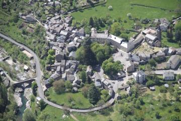
Massevaques - ROUSSES
Foot
Massevaques
48400 ROUSSES
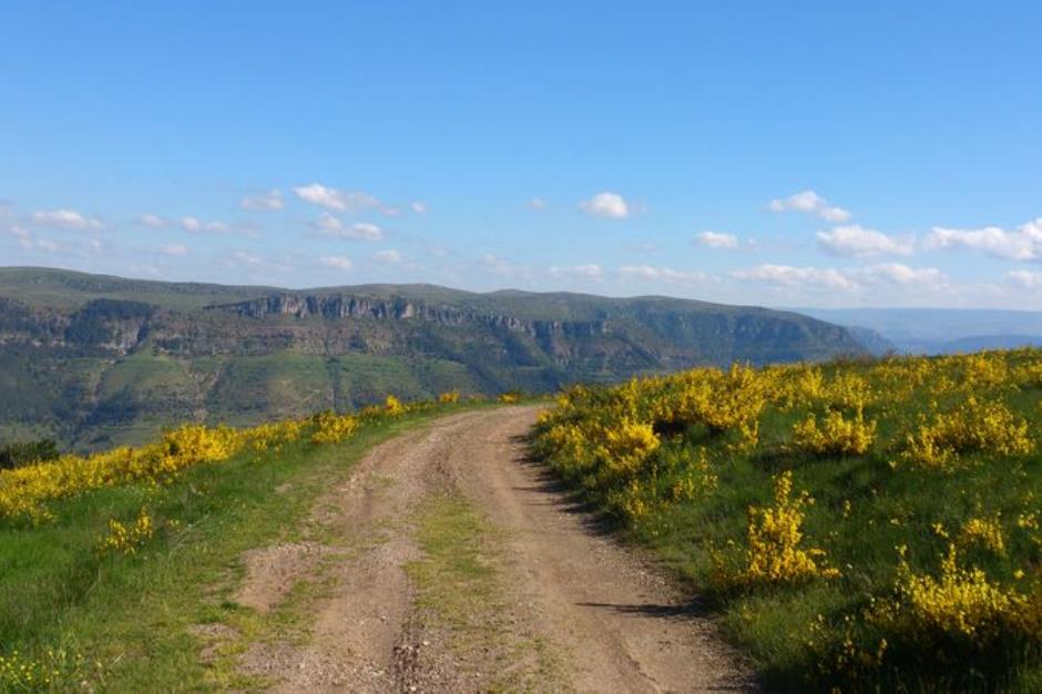
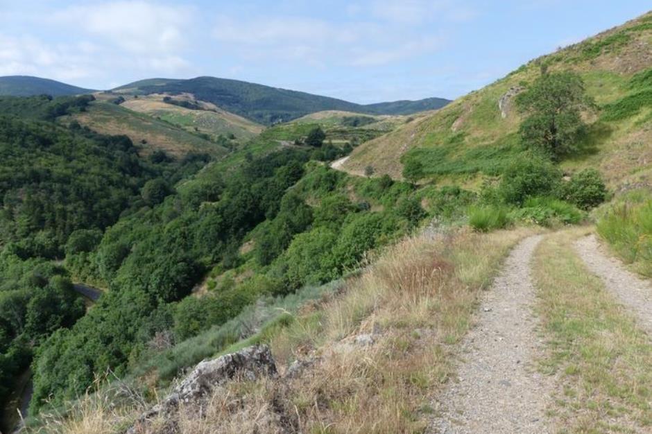
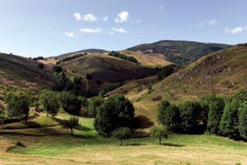
This is an incredibly varied trail – through beech forests, along a ridge with views onto the cliffs of the Causse Méjean, through a hundred-year-old chestnut grove and past unexpectedly handsome isolated hamlets – which ends in riverside meadows.
Reception
Min height : 718 m
Max height : 1167 m
Natural regions : Cevennes
Territories : National Park of the Cevennes
Document language : French
Itinerary
Beacon : Yellow PR
Level : Medium
Distance : 15.7615 km
Duration in hours : 05:00 h
Negative difference : 708 m
Positive difference : 711 m
Loop itinerary : yes
Access : From Florac, take the D 907 and in Les Vanels follow signposts for Rousses Above the inn (Auberge)
Useful tips
The Col des Portes can be very windy. Make sure your equipment is appropriate for the day's weather conditions. Remember that the weather changes quickly in the mountains. Take enough water, wear good shoes and put on a hat. Please close all gates and barriers after yourself.
1.
Distance : 2,5Km
Level : Average
Duration : 00:55
2.
Distance : 3Km
Level : Average
Duration : 01:00
3.
Distance : 1,7Km
Level : Average
Duration : 00:35
4.
Distance : 6,8Km
Level : Average
Duration : 02:00


Information updated on 22/04/24 / Report an error on this offer !