
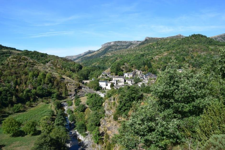
Broussous - VEBRON
Reception
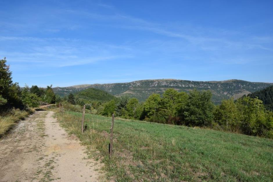
Min height : 626 m
Max height : 892 m
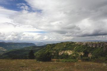
Natural regions : Cevennes
Territories : National Park of the Cevennes
Itinerary
Beacon : Yellow PR
Level : Medium
Distance : 8.2006 km
Duration in hours : 03:00 h
Negative difference : 372 m
Positive difference : 372 m
Loop itinerary : yes
Access : From Florac, take the RD 907 direction Meyrueis. On the village square in Vébron
Useful tips
Make sure your equipment is appropriate for the day's weather conditions. Remember that the weather changes quickly in the mountains. Take enough water, wear good shoes and put on a hat. Please close all gates and barriers after yourself.
1.
Distance : 4,3Km
Level : Average
Duration : 01:30
2.
Distance : 3Km
Level : Average
Duration : 00:50
3.
Distance : 1,7Km
Level : Average
Duration : 00:40


Information updated on 23/04/24 / Report an error on this offer !