
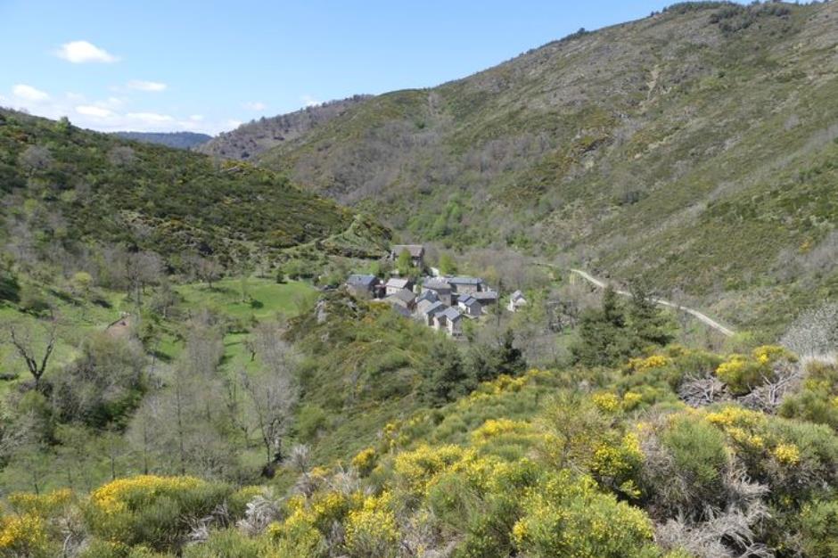
The streams walk - MEYRUEIS
Reception
Min height : 816 m
Max height : 1116 m
Territories : National Park of the Cevennes
Document language : French
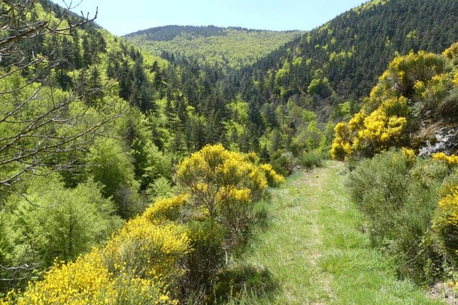
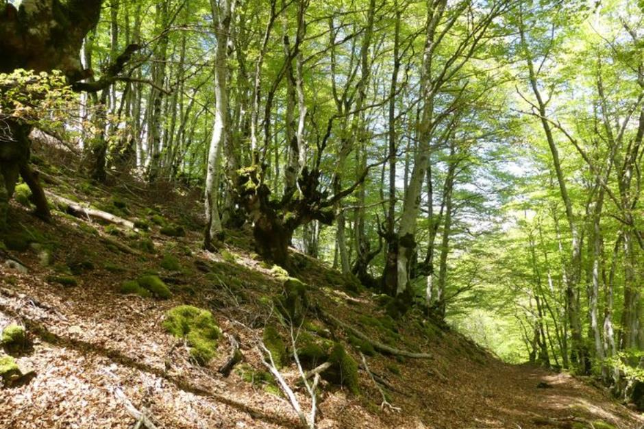
Itinerary
Beacon : Yellow PR
Level : Medium
Distance : 5.146 km
Duration in hours : 02:30 h
Negative difference : 327 m
Positive difference : 327 m
Loop itinerary : yes
Access : From Meyrueis, D 986 towards Bout de Côte. 200 m after the roundabout, small road towards Roquedols, Ferrusac, Le Villaret. At the entrance to the hamlet of Le Villaret, beneath the Château
TopoGuides
Useful tips
Make sure your equipment is appropriate for the day’s weather conditions. Remember that the weather changes quickly in the mountains. Take enough water, wear sturdy shoes and put on a hat. Please close all gates and barriers behind you.

Information updated on 15/04/24 / Report an error on this offer !