
Le Villaret - PONT DE MONTVERT - SUD MONT LOZERE
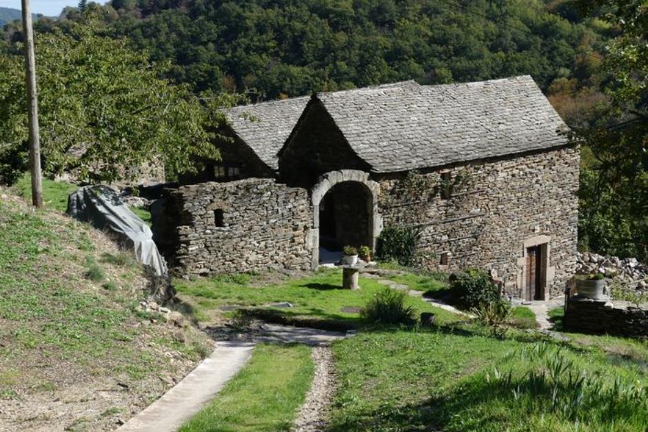
Reception
Min height : 808 m
Max height : 999 m
Natural regions : Cevennes • Mont Lozere
Territories : National Park of the Cevennes
Pets accepted : oui
Document language : French
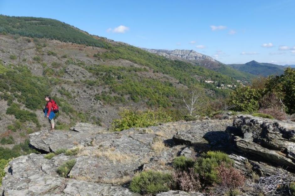
Itinerary
Beacon : Yellow PR
Level : Easy
Distance : 5.4343 km
Duration in hours : 02:00 h
Negative difference : 273 m
Positive difference : 273 m
Loop itinerary : yes
Access : Col de la Baraquette. At Croix de Berthel, head towards Alès. After 3km, turn left. At the Col de la Baraquette

OFFICE DE TOURISME CEVENNES AU MONT-LOZERE
PONT DE MONTVERT - SUD MONT LOZERE
Information updated on 22/04/24 / Report an error on this offer !