
Bayardet - PONT DE MONTVERT - SUD MONT LOZERE
Foot
Bayardet
Mas de la Barque
-
48220 PONT DE MONTVERT - SUD MONT LOZERE
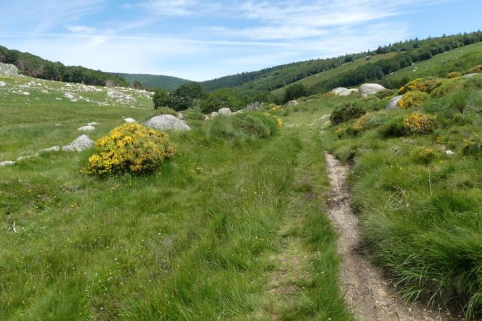
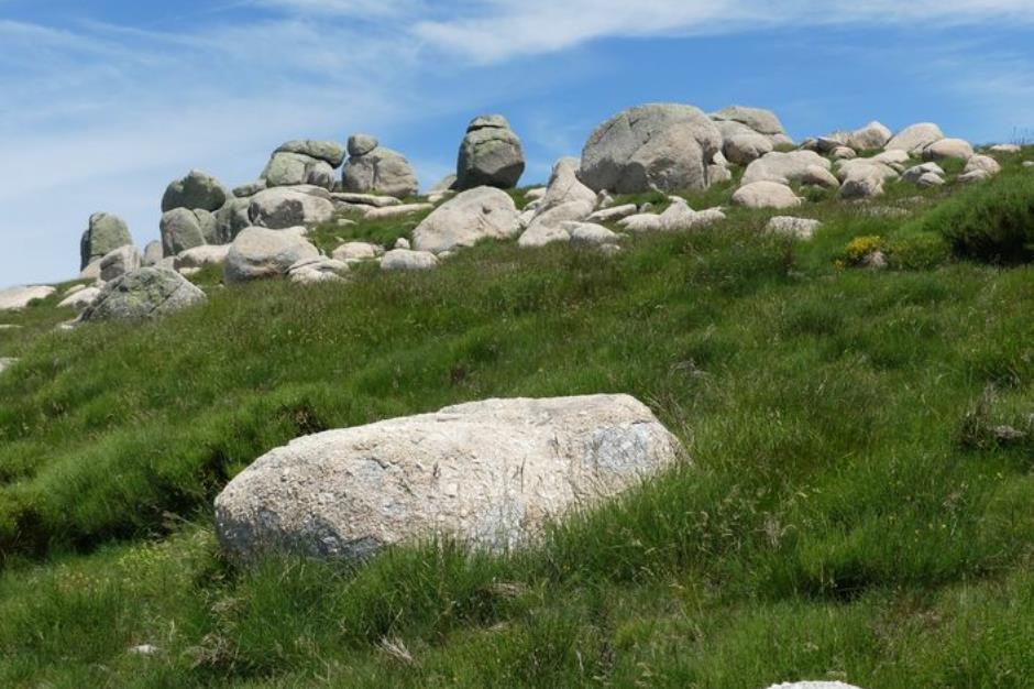
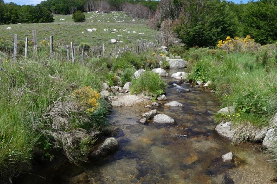
On this walk you encounter a variety of natural environments, from granite block fields to wetlands, from short-grass prairies to a broom heath with scattered gentian and forests of crooked beech trees. This is a pleasant path offering views over the open landscape onto the Gard Cévennes as well as multi-coloured scenes throughout the seasons.
Reception
Min height : 1266 m
Max height : 1424 m
Natural regions : Cevennes • Mont Lozere
Territories : National Park of the Cevennes
Document language : French English
Itinerary
Beacon : Yellow PR
Level : Medium
Distance : 9.8206 km
Duration in hours : 03:00 h
Negative difference : 339 m
Positive difference : 339 m
Loop itinerary : yes
Access : From Génolhac, take the D382 towards Villefort, then the D66 to Mas de la Barque. Car park at Mas de la Barque
Useful tips
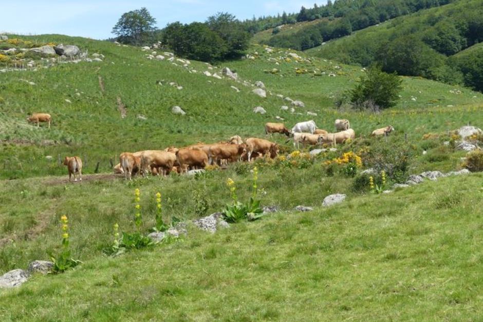
NB: This walk crosses rivers and brooks (difficult in times of flooding) as well as pastureland with herds (dogs must be kept on a leash). Do not attempt this walk in fog. Make sure your equipment is appropriate for the day’s weather conditions. Remember that the weather changes quickly in the mountains. Take enough water, wear sturdy shoes and put on a hat. Please close all gates and barriers behind you.

OFFICE DE TOURISME CEVENNES AU MONT-LOZERE
PONT DE MONTVERT - SUD MONT LOZERE
Information updated on 23/04/24 / Report an error on this offer !