
SENTIER DU GARDONNET - SAINT-HILAIRE-DE-LAVIT
Foot
SENTIER DU GARDONNET
Parking sous la mairie
-
48160 SAINT-HILAIRE-DE-LAVIT
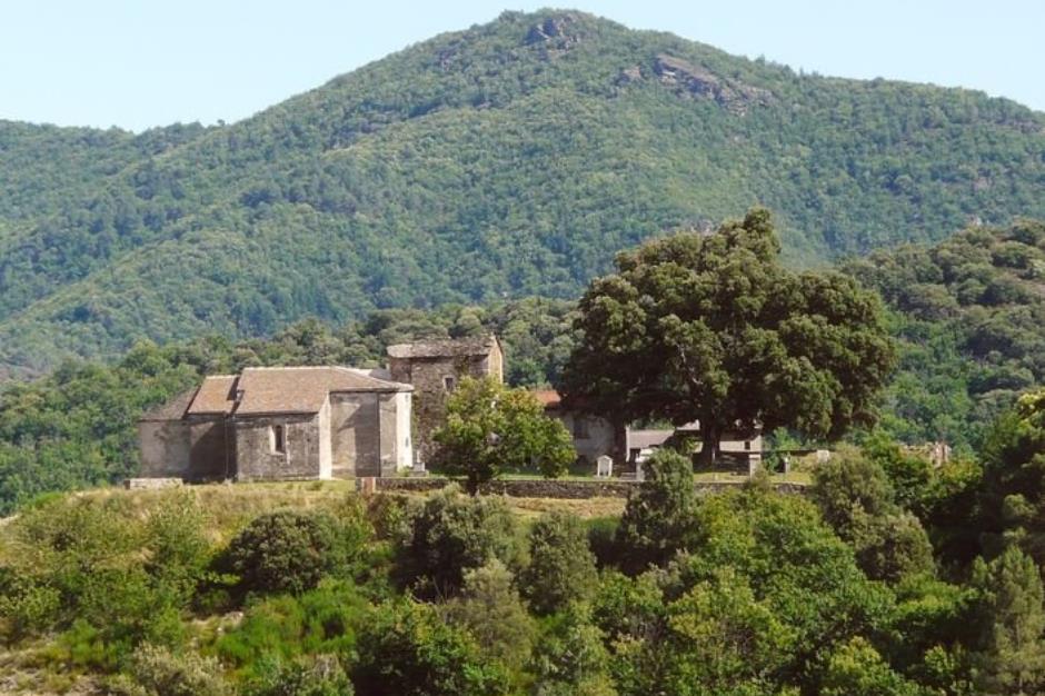
In the footsteps of the old ones from Saint-Hilaire to La Canonge.
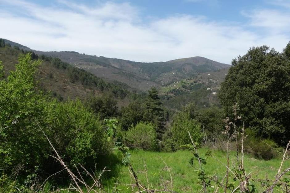
This path connects two parts of the town of Saint-Hilaire-de-Lavit. Long traveled by the inhabitants, by herds and by the postman to go from one hamlet to another or towards the mills, it remained hidden for many years. It conceals a great diversity of points of view between the bottom of the valleys and the crest passages, shows the hamlets, the use of land and water.
Reception
Min height : 403 m
Max height : 580 m
Natural regions : Cevennes
Pets accepted : oui
Document language : French
Itinerary
Beacon : Yellow PR
Level : Medium
Distance : 6.7 km
Duration in hours : 03:00 h
Negative difference : 391 m
Positive difference : 391 m
Loop itinerary : yes
Useful tips
Slippery in rain. Be careful with children when approaching Gardonnet. Close the doors of the parks you pass through. Adapt your equipment to the day's weather conditions. Remember to bring enough water, good shoes and a hat.
Information updated on 28/10/20 / Report an error on this offer !