
LE TOUR DU MONT LOZÈRE OUEST - PONT DE MONTVERT - SUD MONT LOZERE
Tourist on bicycle
LE TOUR DU MONT LOZÈRE OUEST
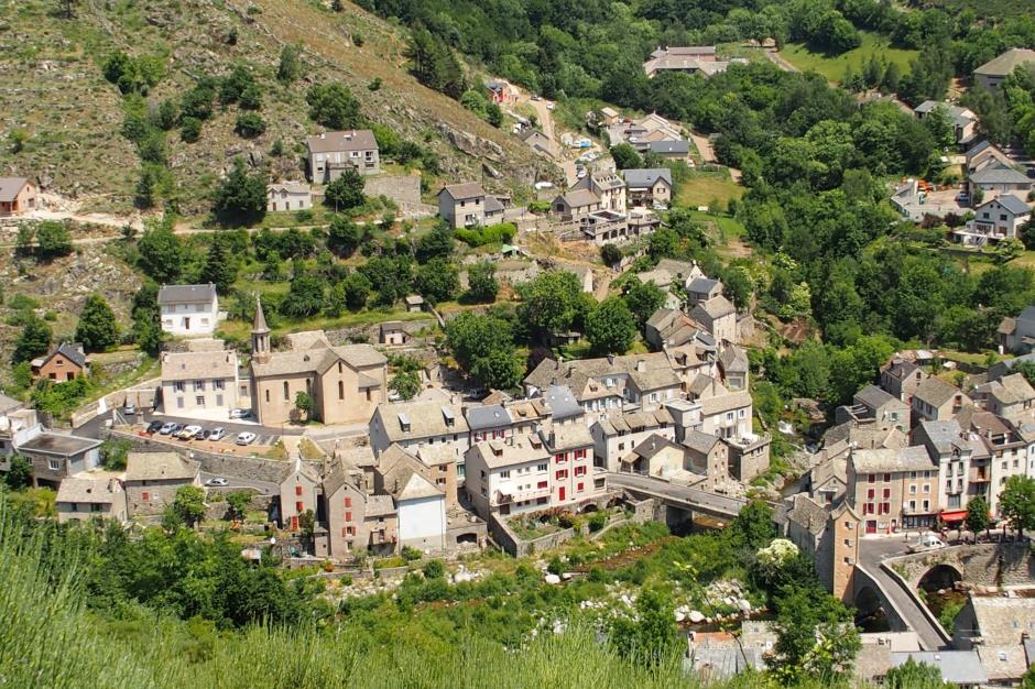
Le village
-
48220 PONT DE MONTVERT - SUD MONT LOZERE
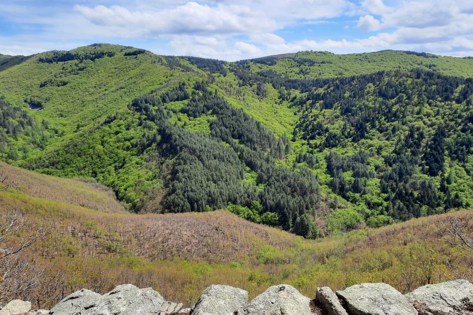
Mont Lozère, Lot valley, Bramont valley, causses and truc de balduc, cham des bondons will be on the programme of this superb tour. Be careful however after Saint Etienne de Valdonnez until the Col de Montmirat where the traffic is heavier.
Unmarked route.
Reservation
Itinerary
Level : Hard
Distance : 78 km
Duration in hours : 06:00 h
Negative difference : 1630 m
Positive difference : 1630 m
Loop itinerary : yes
Useful tips
Indicative time based on 13km/hour. Excellent physical condition required. Wearing a helmet is highly recommended. Do not forget your repair kit and a small tool kit. Slow down in villages and hamlets.

OFFICE DE TOURISME CEVENNES AU MONT-LOZERE
PONT DE MONTVERT - SUD MONT LOZERE
Information updated on 01/09/22 / Report an error on this offer !