
LA CHAM DES BONDONS - PONT DE MONTVERT - SUD MONT LOZERE
Tourist on bicycle
LA CHAM DES BONDONS
Le village
-
48220 PONT DE MONTVERT - SUD MONT LOZERE
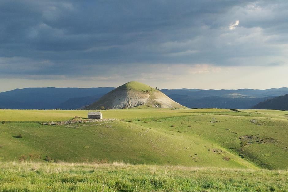
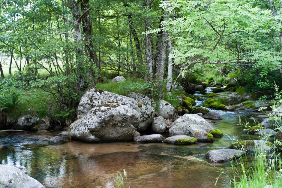
Beautiful descent following the Tarn towards Cocurès. We then attack the beautiful climb to the Cham des Bondons. The descent towards Runes and then Pont de Montvert allows you to admire the magnificent landscape of Mont Lozère and the diversity of the Cévennes National Park.
Unmarked itinerary.
Reservation
Itinerary
Level : Medium
Distance : 46 km
Duration in hours : 03:30 h
Negative difference : 930 m
Positive difference : 930 m
Loop itinerary : yes
Useful tips
Unmarked itinerary.

OFFICE DE TOURISME CEVENNES AU MONT-LOZERE
PONT DE MONTVERT - SUD MONT LOZERE
Information updated on 01/09/22 / Report an error on this offer !