
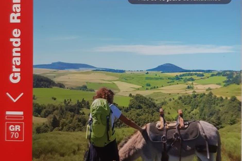
GR®70, the Stevenson trail - LANGOGNE
Foot
GR®70, the Stevenson trail
48300 LANGOGNE
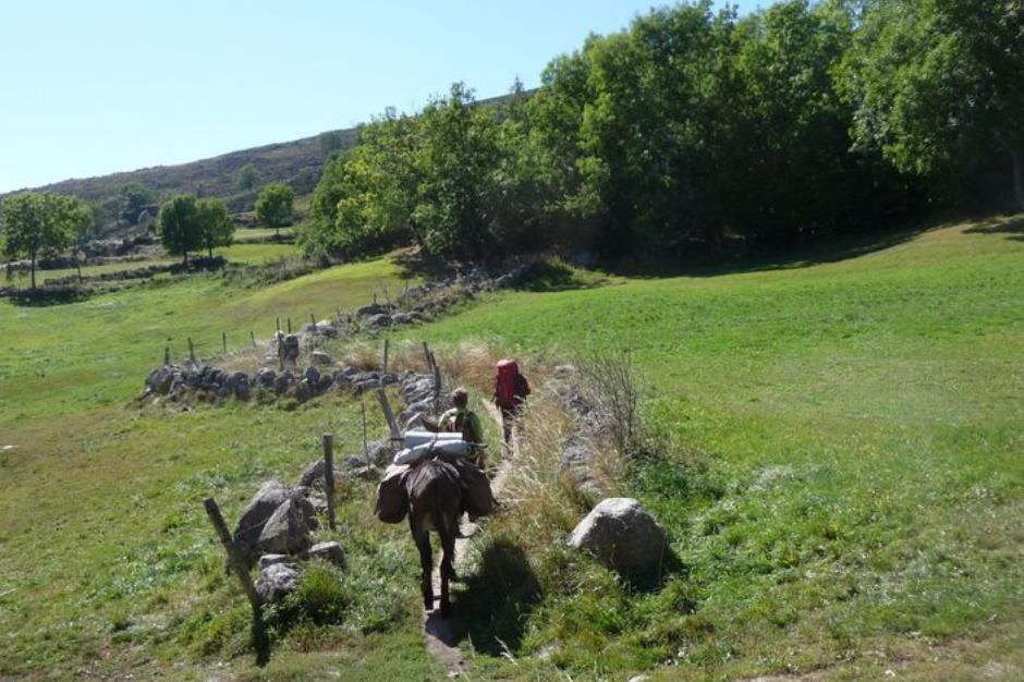
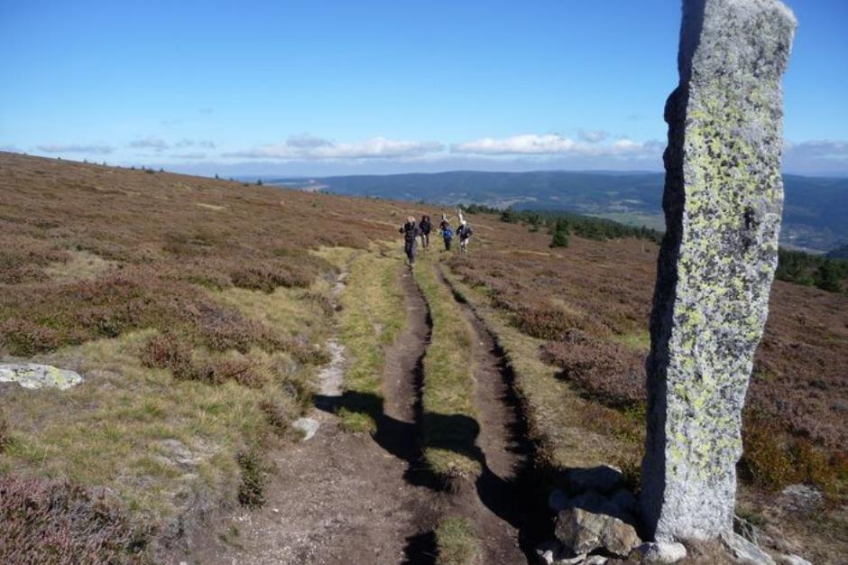
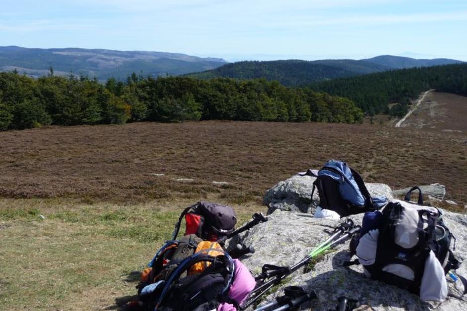
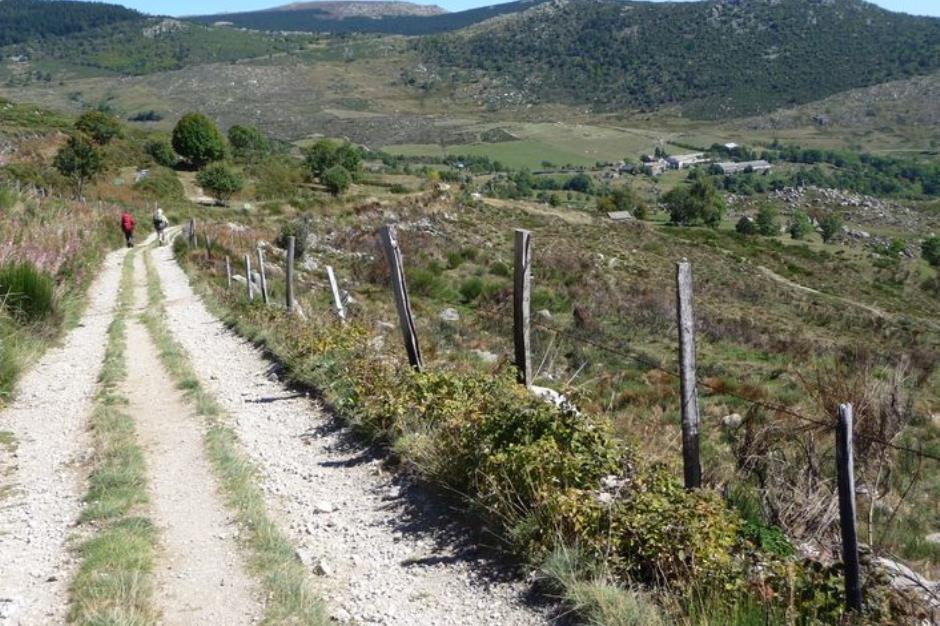
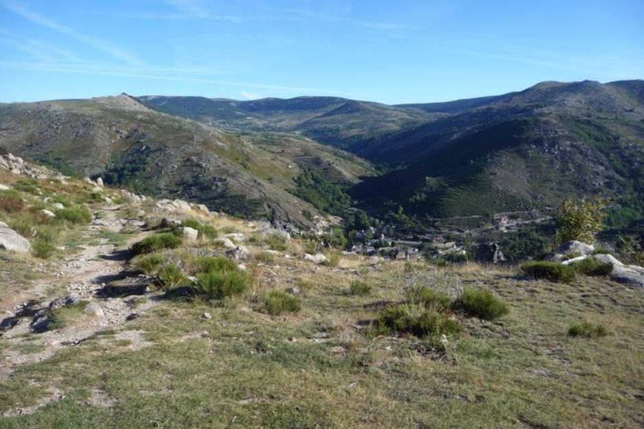
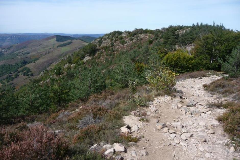
Whether you are on your own, with friends or family, on foot, donkey, by bike or on horseback: there are many ways to discover the route taken by Robert Louis Stevenson in 1878. You should allow two weeks for the hike from Le Puy-en-Velay to Alès, the capital of the Cévennes, via the Gévaudan and Mont Lozère. You can then discover the varied scenery and the stories it tells at your own rhythm …
Reception
Min height : 142 m
Max height : 1699 m
Natural regions : Margeride • Cevennes • Mont Lozere
Territories : National Park of the Cevennes
Itinerary
Beacon : White and red GR
Level : Medium
Distance : 198.949 km
Duration in days : 9 j
Negative difference : 8106 m
Positive difference : 7334 m
Loop itinerary : no
Useful tips
NB: For various reasons, the waymarked path may differ from that shown in the topographic guidebook: please follow the waymarks on the trail. Make sure your equipment is appropriate for several days of hiking as well as the day’s weather conditions. Remember that the weather changes quickly in the mountains. Take enough water, wear sturdy shoes and put on a hat. Please close all gates and barriers behind you.

Information updated on 23/04/24 / Report an error on this offer !