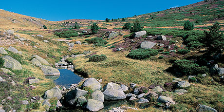
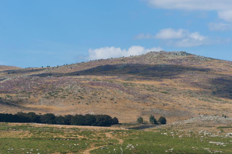
Col de l'aigle - VTT n°7 - PONT DE MONTVERT - SUD MONT LOZERE
Accommodations
Hotels
Guestrooms
Gites rentals
Holiday villages
Restaurants
Restaurants
Nature Sports
Sport activities
Outing
Sporting route
Reception
Min height : 1423 m
Max height : 1622 m
Natural regions : Cevennes • Mont Lozere
Territories : National Park of the Cevennes
Document language : French English
Itinerary
Level : Medium
Distance : 8.8012 km
Duration in hours : 00:51 h
Negative difference : 271 m
Positive difference : 269 m
Loop itinerary : yes
Useful tips
Le port du casque est vivement recommandé. Ne pas oublier son kit de réparation et un petit outillage. Bien refermer les clôtures et les portillons.
OFFICE DE TOURISME CEVENNES AU MONT-LOZERE
PONT DE MONTVERT - SUD MONT LOZERE
Information updated on 16/04/24 / Report an error on this offer !


