
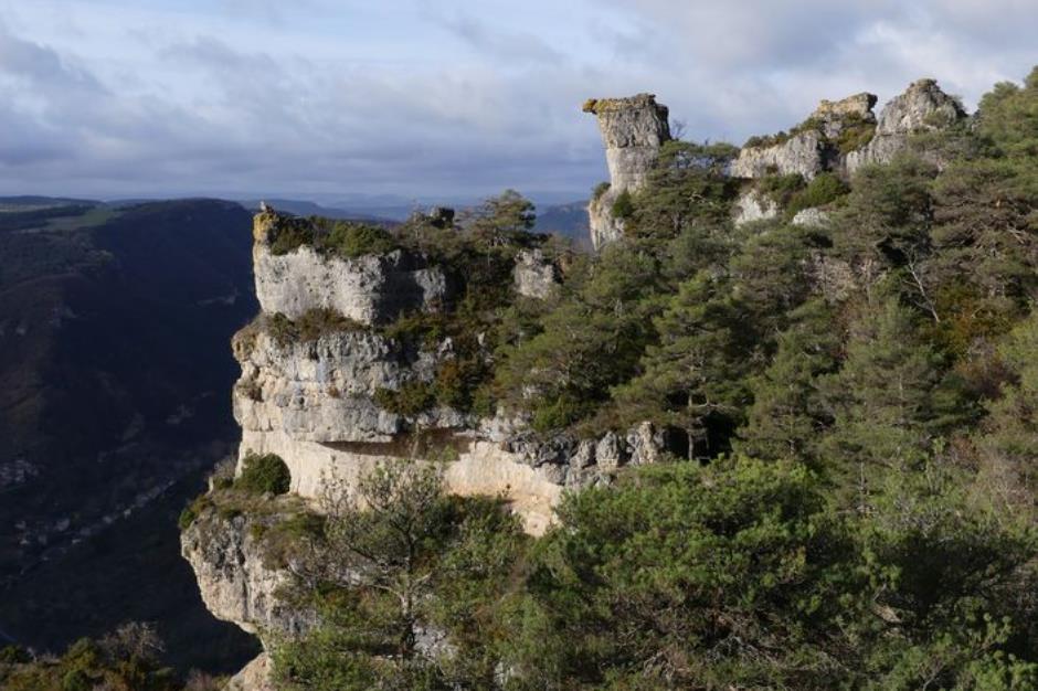
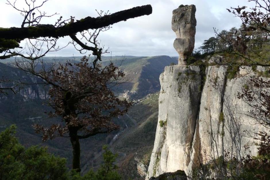
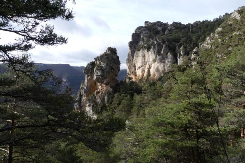
The cliffs of the Causse Méjean - LE ROZIER
Reception
Min height : 397 m
Max height : 869 m
Natural regions : Gorges du Tarn • Gorges de la Jonte • Causse Mejean
Territories : Grands Sites des Gorges du Tarn, de la Jonte et des Causses • National Park of the Cevennes
Document language : French
Itinerary
Beacon : Yellow PR
Level : Medium
Distance : 11.4518 km
Duration in hours : 04:30 h
Negative difference : 918 m
Positive difference : 918 m
Loop itinerary : yes
Access : From Meyrueis, drive down the Jonte gorge on the D 996 to Le Rozier. Car park in the village
Useful tips
This walk is not recommended for those suffering from vertigo (sections at cliff’s edge). Make sure your equipment is appropriate for the day’s weather conditions. Remember that the weather changes quickly in the mountains. Take enough water, wear sturdy shoes and put on a hat. Please close all gates and barriers behind you.
1. From LE ROZIER - Route de Meyrueis to LE ROZIER - Hameau de Capluc
Distance : 0,9Km
Minimum altitude : 409m
Maximum altitude : 594m
2. From LE ROZIER to LE ROZIER
Distance : 1,3Km
Level : Average
Minimum altitude : 584m
Maximum altitude : 738m
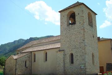
3. From SAINT-PIERRE-DES-TRIPIERS to SAINT-PIERRE-DES-TRIPIERS
Distance : 1,8Km
Level : Average
Minimum altitude : 738m
Maximum altitude : 860m
4. From SAINT-PIERRE-DES-TRIPIERS to SAINT-PIERRE-DES-TRIPIERS
Distance : 3,2Km
Level : Average
Minimum altitude : 718m
Maximum altitude : 871m
5. From LE ROZIER to LE ROZIER
Distance : 3,2Km
Level : Average
Minimum altitude : 409m
Maximum altitude : 718m


Information updated on 04/07/25 / Report an error on this offer !