
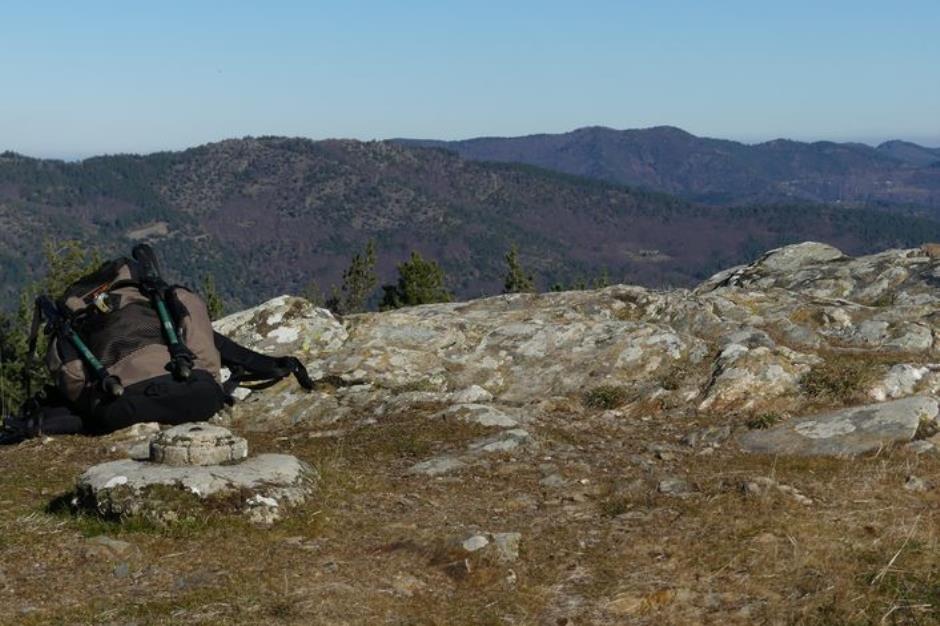
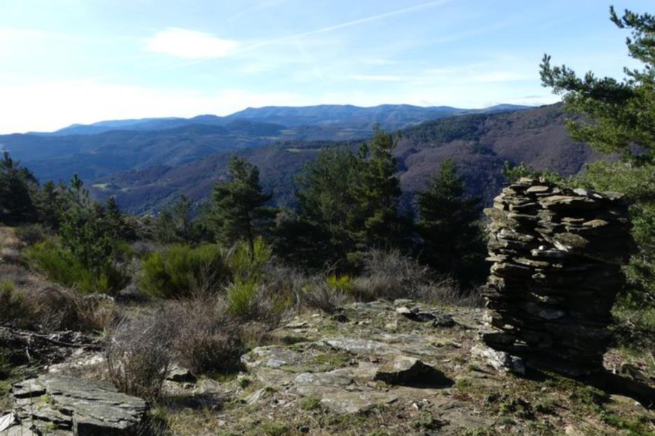
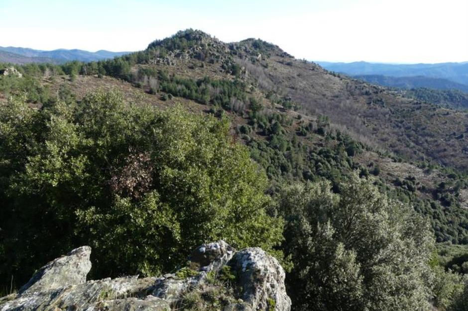
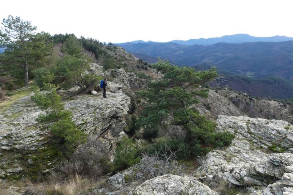
Castelviel - SAINT-MARTIN-DE-LANSUSCLE
Reception
Min height : 671 m
Max height : 921 m
Natural regions : Cevennes
Territories : National Park of the Cevennes
Pets accepted : oui
Document language : French
Itinerary
Beacon : Yellow PR
Level : Medium
Distance : 8.4127 km
Duration in hours : 03:30 h
Negative difference : 444 m
Positive difference : 444 m
Loop itinerary : yes
Access : From Sainte-Croix-Vallée-Française, take the D28 towards Saint-Martin-de-Lansuscle. After 5 km, at the pass, park in the parking area on the right. Pass between Sainte-Croix Vallée Française and Saint-Martin de Lansuscle (D 28)
Useful tips
Make sure your equipment is appropriate for the day’s weather conditions. Remember that the weather changes quickly in the mountains. Take enough water, wear sturdy shoes and put on a hat. Please close all gates and barriers behind you.
Information updated on 23/04/24 / Report an error on this offer !