
Mallevrière - MONT LOZERE ET GOULET
Reception
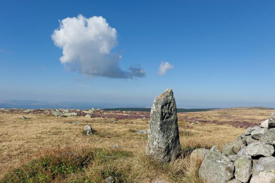
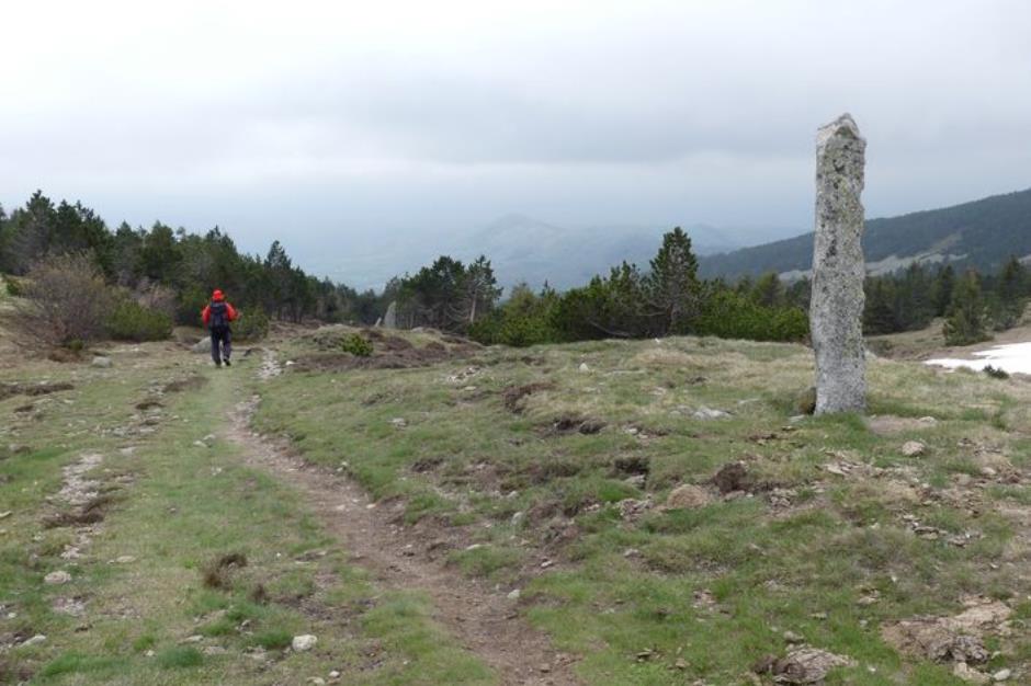
Min height : 1320 m
Max height : 1699 m
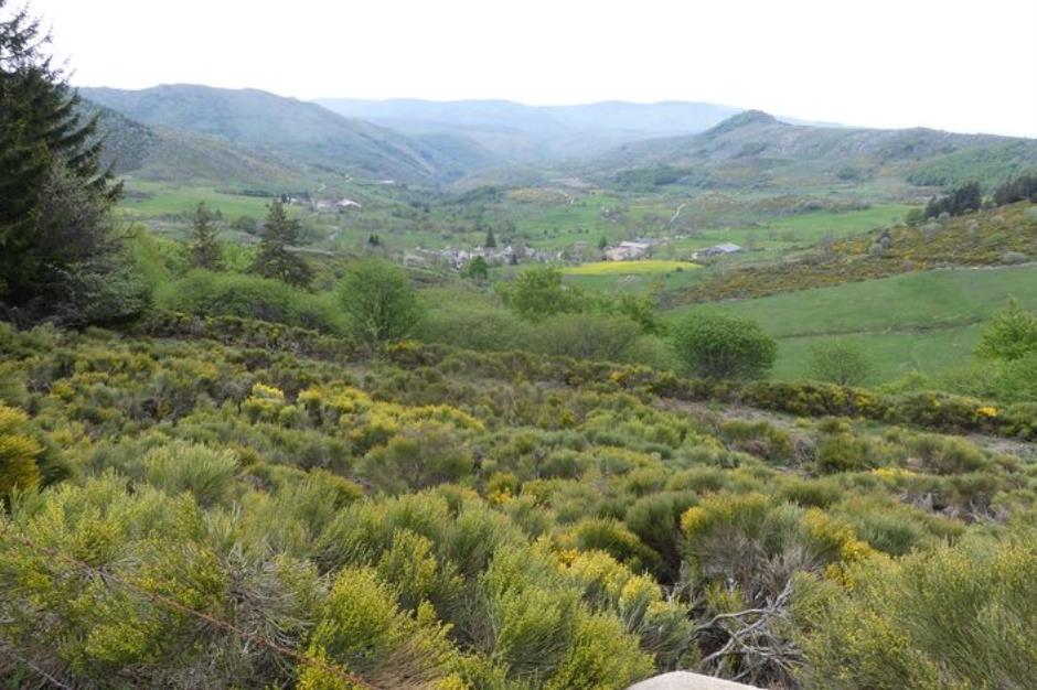
Natural regions : Mont Lozere
Territories : National Park of the Cevennes
Document language : French
Itinerary
Beacon : Yellow PR
Level : Medium
Distance : 12.2133 km
Duration in hours : 04:30 h
Negative difference : 472 m
Positive difference : 472 m
Loop itinerary : yes
Access : From Le Pont-de-Montvert, take the D20 towards Le Bleymard to the Finiels pass. Col de Finiels pass
Useful tips
Stony paths. Avoid the summit of Finiels in fog. Make sure your equipment is appropriate for the day’s weather conditions. Remember that the weather changes quickly in the mountains. Take enough water, wear sturdy shoes and put on a hat. Please close all gates and barriers behind you. Parts of this path are prohibited for mountain-bikes.


BAGNOLS-LES-BAINS - OFFICE DE TOURISME DE MENDE COEUR DE LOZERE
MONT LOZÈRE ET GOULET
Information updated on 08/06/25 / Report an error on this offer !