
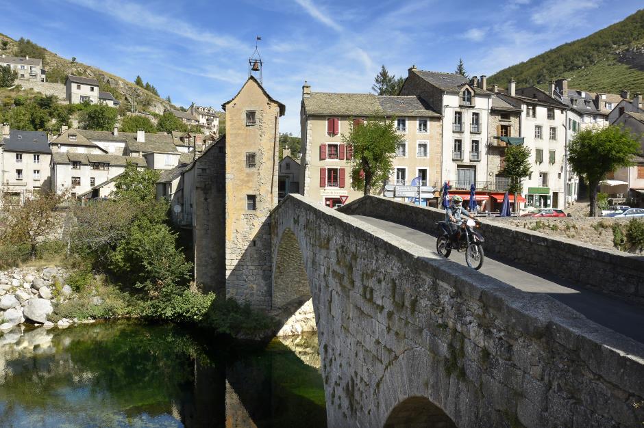
- PONT DE MONTVERT - SUD MONT LOZERE
Tourist on bicycle
48220 PONT DE MONTVERT - SUD MONT LOZERE
Reception
Min height : 579 m
Max height : 1250 m
Natural regions : Cevennes • Mont Lozere
Territories : National Park of the Cevennes
Itinerary
Level : Medium
Distance : 47 km
Duration in days : 0,5 j
Duration in hours : 02:00 h
Positive difference : 1084 m
Loop itinerary : yes
1. From Le Pont-de-Montvert to Cocurès
Distance : 15Km
Level : Average
Height difference : +154m
Duration : 00:30
2. From Cocurès to La Cham des Bondons
Distance : 10Km
Height difference : +626m
Duration : 00:40
3. From La Cham des Bondons to Runes
Distance : 10Km
Level : Average
Height difference : +172m
Duration : 00:25
4. From Runes to Le Pont-de-Montvert
Distance : 12Km
Level : Average
Height difference : +151m
Duration : 00:25


Information updated on 16/09/20 / Report an error on this offer !