
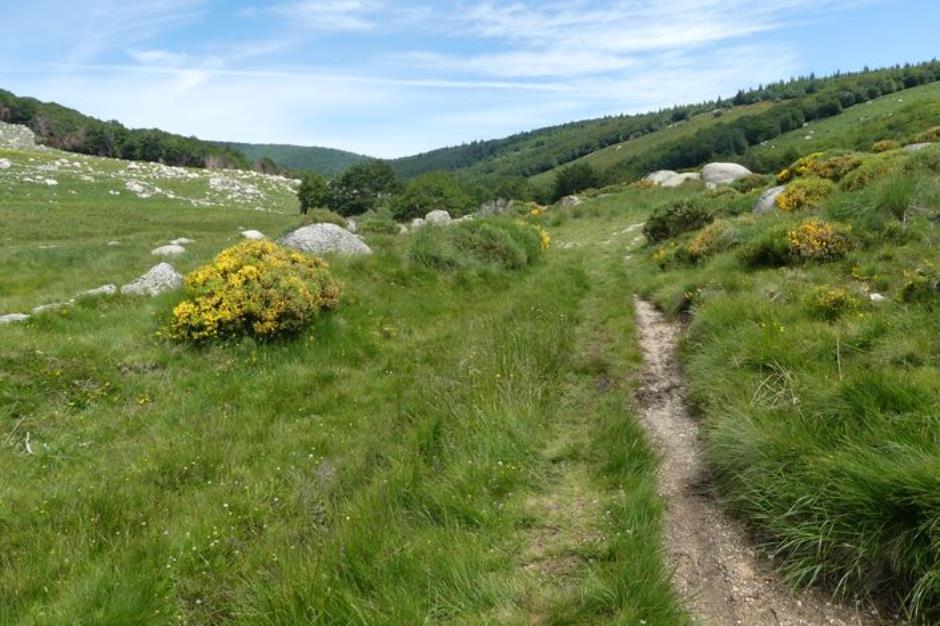
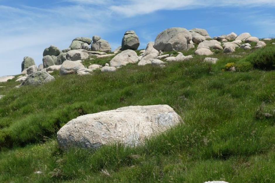
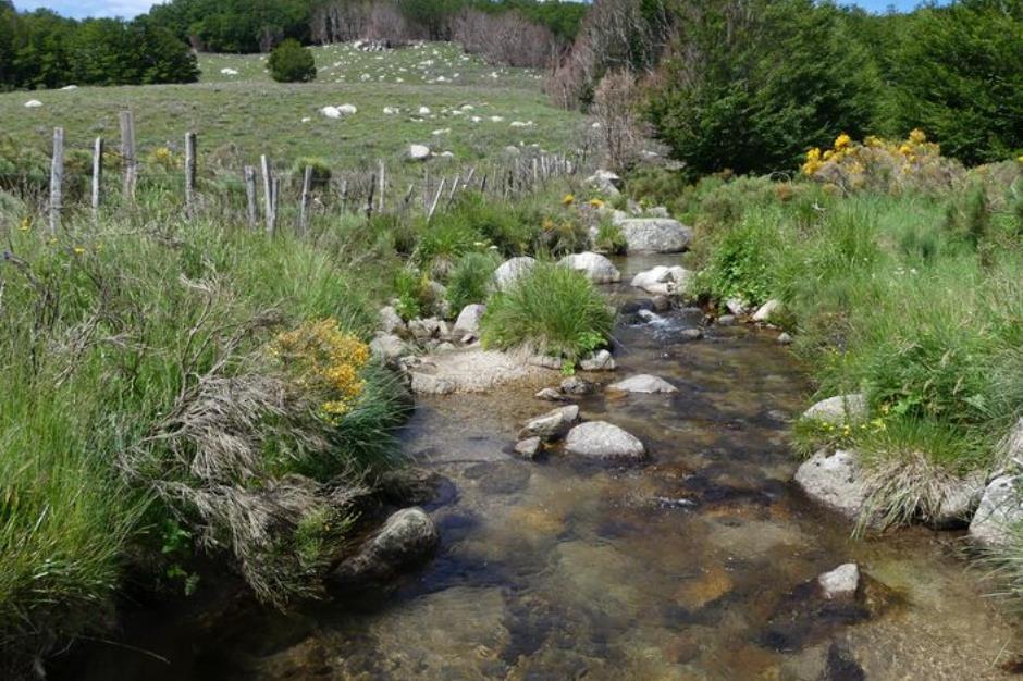
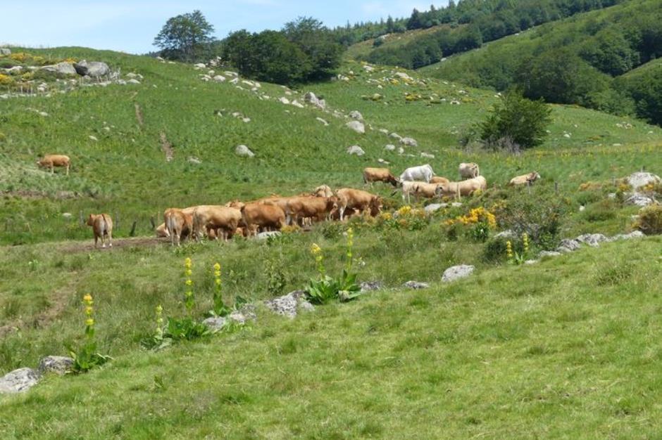
Bayardet - PONT DE MONTVERT - SUD MONT LOZERE
Reception
Min height : 1266 m
Max height : 1424 m
Natural regions : Cevennes • Mont Lozere
Territories : National Park of the Cevennes
Document language : French English
Itinerary
Beacon : Yellow PR
Level : Medium
Distance : 9.8206 km
Duration in hours : 03:00 h
Negative difference : 339 m
Positive difference : 339 m
Loop itinerary : yes
Access : From Génolhac, take the D382 towards Villefort, then the D66 to Mas de la Barque. Car park at Mas de la Barque

OFFICE DE TOURISME CEVENNES AU MONT-LOZERE
PONT DE MONTVERT - SUD MONT LOZERE
Information updated on 11/03/26 / Report an error on this offer !