
GORGES DU TARN & CAUSSE MEJEAN - GORGES DU TARN CAUSSES
Tourist on bicycle
GORGES DU TARN & CAUSSE MEJEAN
48210 GORGES DU TARN CAUSSES
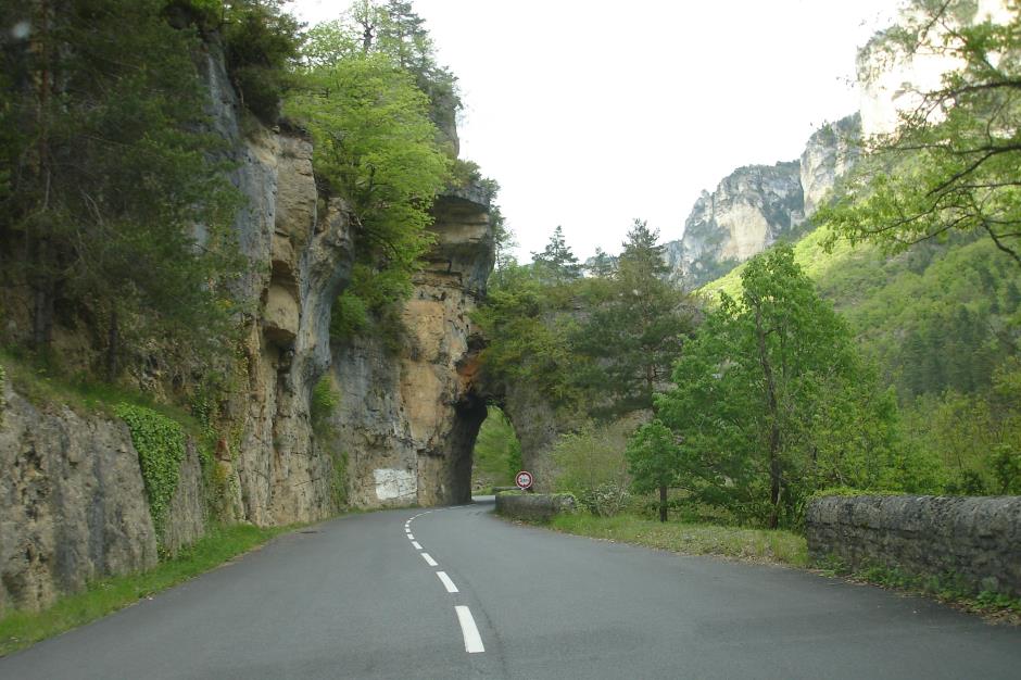
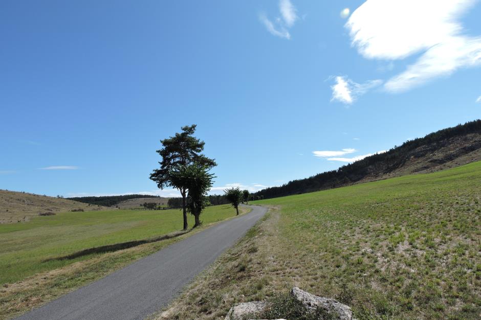
Let yourself be guided along the Gorges du Tarn to Causse Méjean, passing by the cirque of Saint-Chély-du-Tarn, on this course of nearly 75km. Causse Mejean is part of the Grands Causses located in the southern part of the central massif. With an area of 340 km², it is the highest plateau Caussenards with an altitude ranging from 800 to 1247 meters.
• Cumulative elevation gain: 1410 m
• Cumulative negative elevation gain: 1410 m
• Maximum altitude: 972 m
• Minimum altitude: 443 m
• Average altitude: 737 m
Reception
Min height : 443 m
Max height : 972 m
Natural regions : Gorges du Tarn
Territories : Grands Sites des Gorges du Tarn, de la Jonte et des Causses
Itinerary
Level : Hard
Distance : 74 km
Negative difference : 1410 m
Positive difference : 1410 m
Loop itinerary : yes
1. From SAINTE-ENIMIE to LAVAL-DU-TARN
Distance : 9Km
Level : Average
2. From LAVAL-DU-TARN to LA MALENE
Distance : 24Km
Level : Easy
3. From LA MALENE to MONTBRUN
Distance : 29Km
4. From MONTBRUN to SAINTE-ENIMIE
Distance : 12Km
Level : Easy


Information updated on 10/04/25 / Report an error on this offer !