
COL DU REY, AT THE HEART OF THE CEVENNES - SAINT-GERMAIN-DE-CALBERTE
Tourist on bicycle
COL DU REY, AT THE HEART OF THE CEVENNES
48370 SAINT-GERMAIN-DE-CALBERTE
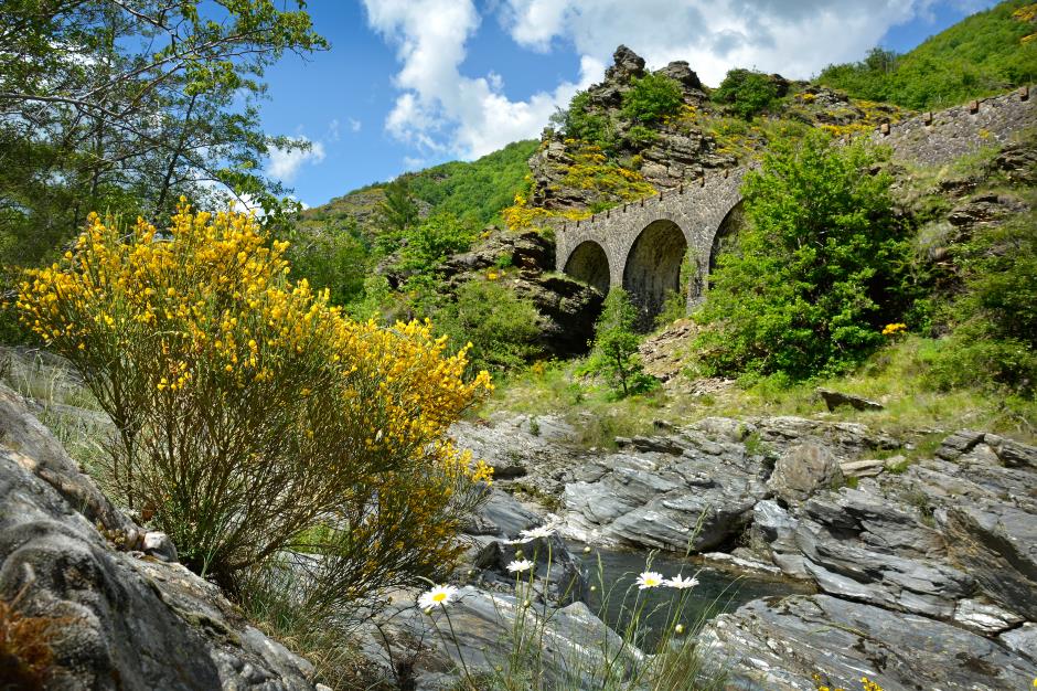
From the village of Saint-Germain-de-Calberte, dive into the heart of the Cévennes National Park! With this loop of a hundred kilometers, you will climb the Col du Rey, a passage between the French valley and the Tarnon valley, located at 1000m altitude and offering a panoramic view of the Cévennes valleys against down!
• cumulative elevation gain: 2226 m
• Cumulative negative elevation gain: 2226 m
• Maximum altitude: 1008 m
• Minimum altitude: 338 m
• Average altitude: 665 m
1. From SAINT-GERMAIN-DE-CALBERTE to BARRE-DES-CEVENNES
Distance : 22Km
2. From BARRE-DES-CEVENNES to VEBRON
Distance : 17Km
Level : Easy
3. From VEBRON to SAINT-ANDRE-DE-VALBORGNE
Distance : 23Km
Level : Average
4. From SAINT-ANDRE-DE-VALBORGNE to LE POMPIDOU
Distance : 9Km
5. From LE POMPIDOU to SAINTE-CROIX-VALLEE-FRANÇAISE
Distance : 9Km
Level : Average
6. From SAINTE-CROIX-VALLEE-FRANÇAISE to SAINT-GERMAIN-DE-CALBERTE
Distance : 21Km
Level : Average


OFFICE DE TOURISME CEVENNES GORGES DU TARN - ANTENNE DE SAINT-GERMAIN-DE-CALBERTE
SAINT-GERMAIN-DE-CALBERTE
Information updated on 10/04/25 / Report an error on this offer !