
GORGES DU TARN FOOTHPATH - LEFT BANK - FLORAC TROIS RIVIERES

Foot
GORGES DU TARN FOOTHPATH - LEFT BANK
48400 FLORAC TROIS RIVIERES
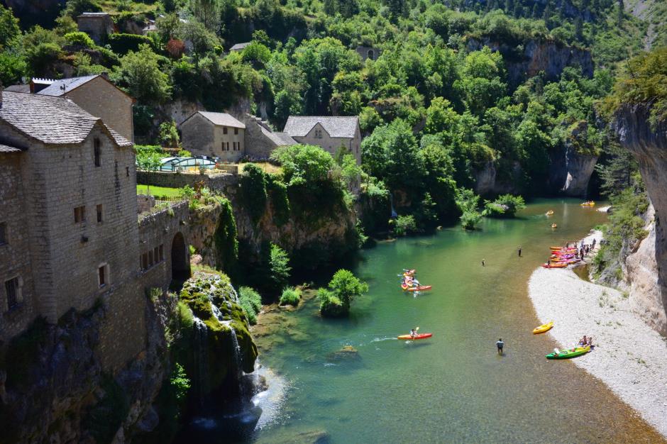
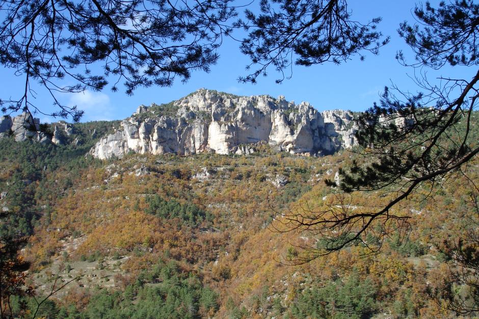
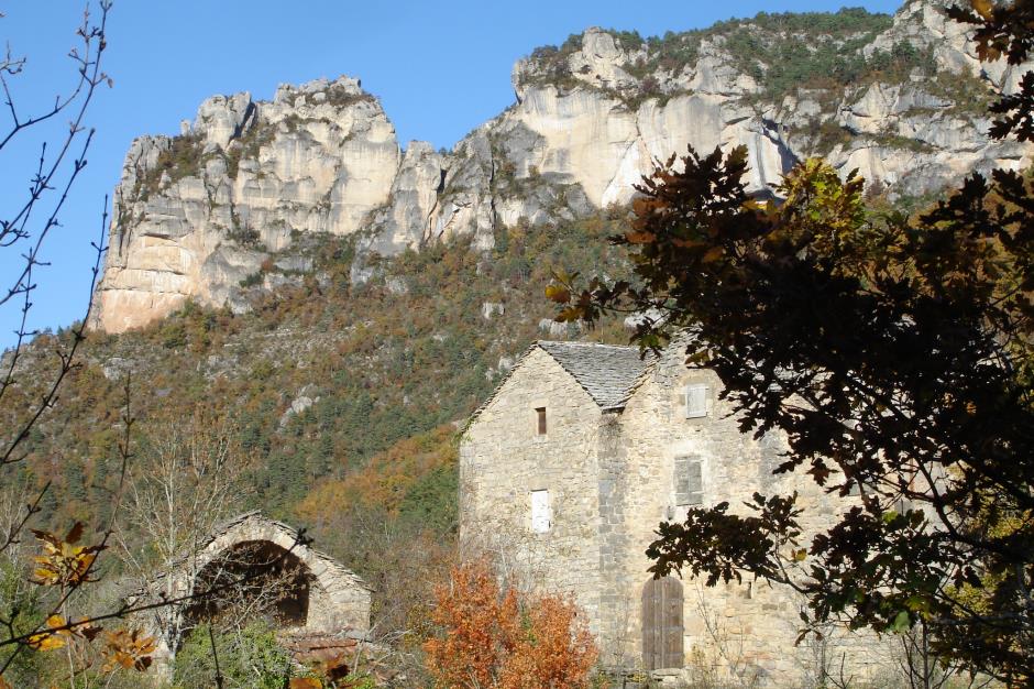
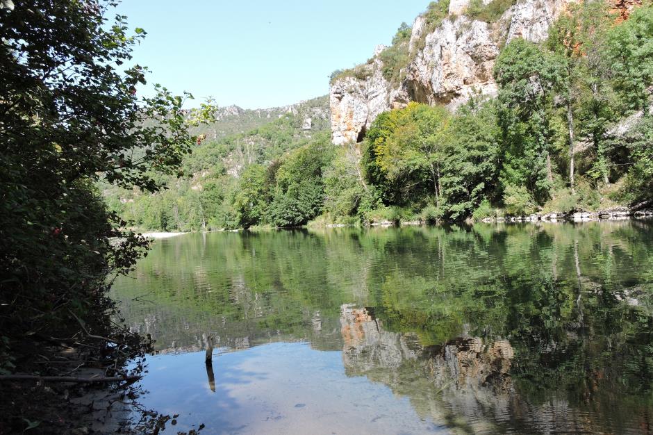
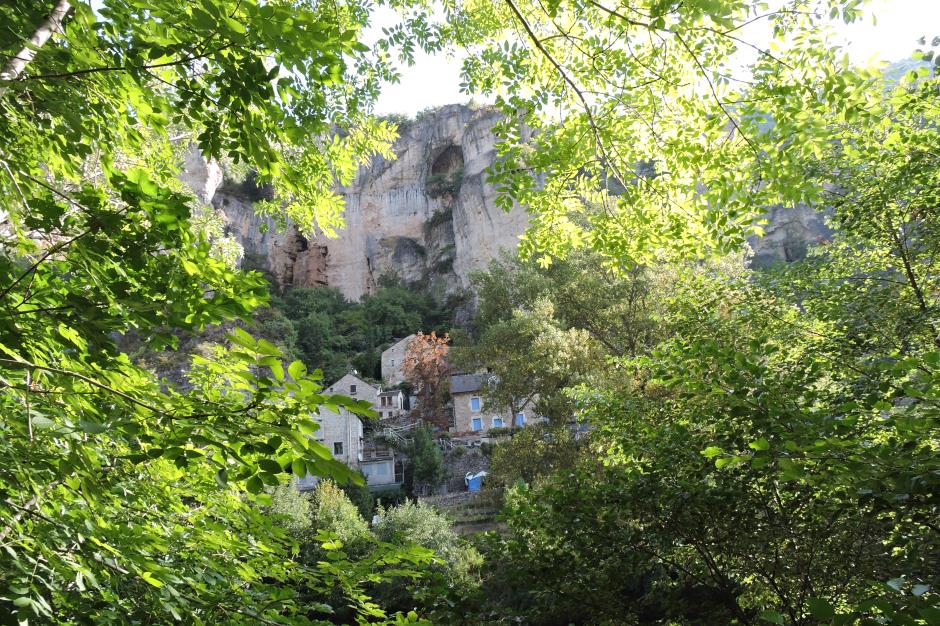
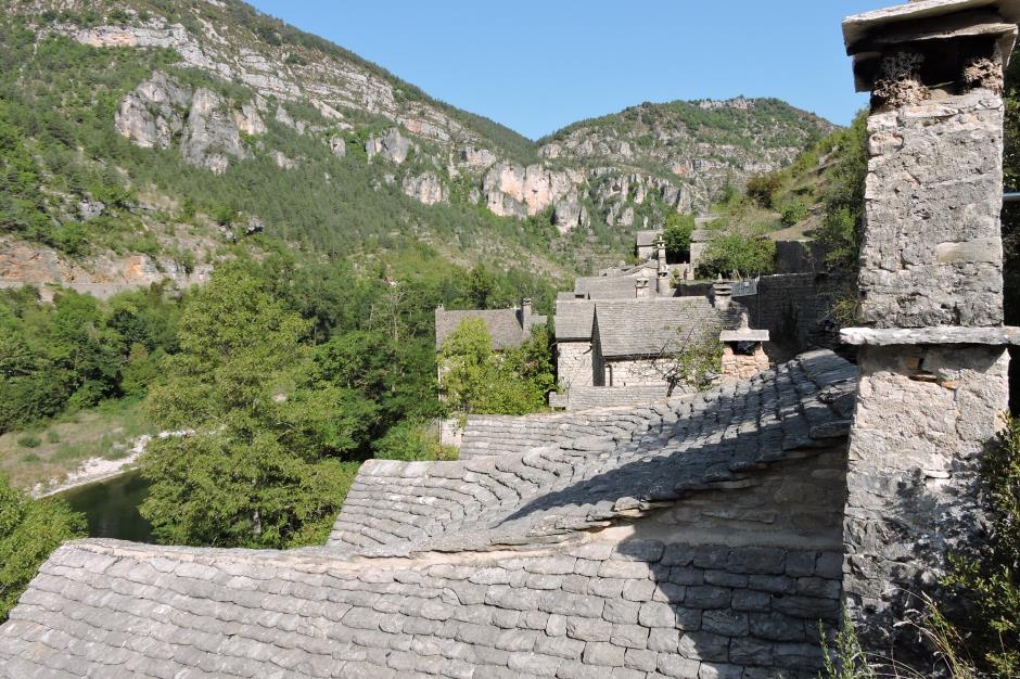
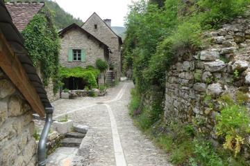
If from its source on Mount Lozere at 1600 m altitude until Florac Tarn takes on airs of impetuous torrent, when it arrives at Ispagnac it slips between the causses of Sauveterre and Méjean. It leaves us the legacy of this canyon dug over millions of years. On 65 kilometers the Gorges du Tarn winding meanders, circuses and chaos ... dotted with typical villages. From Florac to Rozier or conversely there is a path on the left bank that runs alongside the river (yellow and green signs). On foot the pace is slow, we have time, to observe the landscape, to stop in the villages, to dream over the water, to soak your feet
Reservation
Itinerary
Beacon : Interpretive Trail
Level : Medium
Distance : 67 km
Positive difference : 2518 m
Loop itinerary : no
1.
Distance : 10Km
Level : Easy
Duration : 03:00
2.
Distance : 7Km
Level : Easy
Duration : 02:00
Minimum altitude : 524m
Maximum altitude : 548m
3.
Distance : 3,5Km
Duration : 00:45
4.
Distance : 7Km
Level : Easy
Duration : 02:00
5.
Distance : 5Km
Level : Average
Duration : 01:30
6.
Distance : 9Km
Level : Average
Duration : 03:00
7.
Distance : 12Km
Level : Average
Duration : 04:00
8.
Distance : 11,5Km
Level : Average
Duration : 04:00
")
OFFICE DE TOURISME CEVENNES GORGES DU TARN - ANTENNE DE FLORAC
FLORAC TROIS RIVIERES
Information updated on 15/08/25 / Report an error on this offer !