
SENTIER DE VILLEFORT - VILLEFORT
Foot
SENTIER DE VILLEFORT
Place principale du village
-
48800 VILLEFORT
Its geographical location, along the economic and cultural axis that is the path of Régordane. was favorable to its development in the Middle Ages. A real commercial node of the Cévennes, Villefort experienced a new boom around 1860, with the construction of one of the main stations of the Cévennes railway line. Located at the foot of Mont Lozère, on the Régordane Road, Villefort has developed specific architectural forms between schist and granite.
Reception
Min height : 574 m
Max height : 614 m
Natural regions : Cevennes • Mont Lozere
Pets accepted : oui
Document language : French
Reservation
Itinerary
Beacon : Interpretive Trail
Level : Very Easy
Distance : 1.5102 km
Duration in hours : 01:00 h
Negative difference : 46 m
Positive difference : 46 m
Loop itinerary : yes
Useful tips
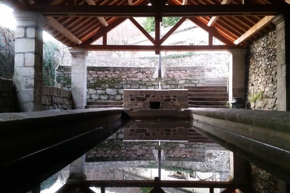
This trail has fourteen numbered panels. Some details: To access the signs 5 (Organization of the village) and 6 (train line Paris-Marseille), go up the rue du Chazalet and take the first lane on the right. Take a small path (GR 44) that goes up about fifty meters to the point of view. To access the panel 13 (Hydrographic network), continue in the cul-de-sac of Lavoir and take the first street on the left that goes down to the river.
")
Information updated on 31/01/26 / Report an error on this offer !