
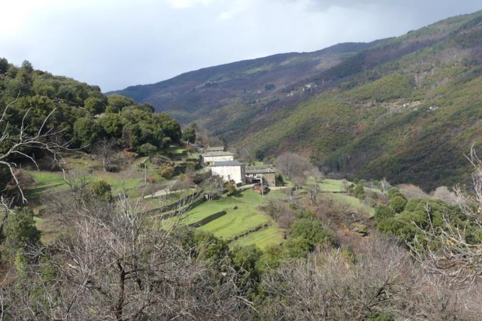
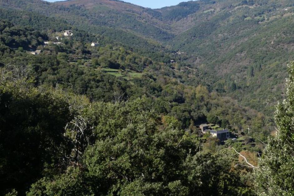
Béal des Abrits - SAINT-MARTIN-DE-LANSUSCLE
Reception
Min height : 379 m
Max height : 538 m
Natural regions : Cevennes
Document language : French
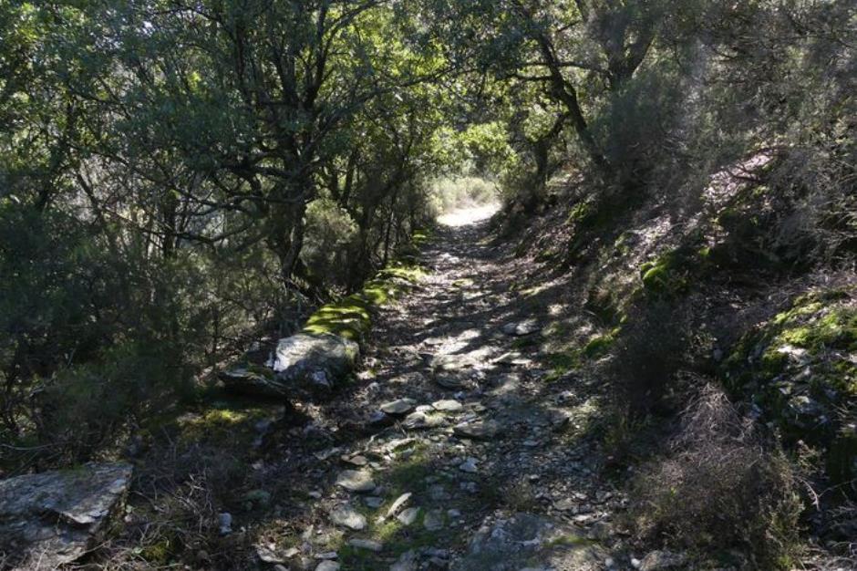
Itinerary
Beacon : Yellow PR
Level : Medium
Distance : 4.7704 km
Duration in hours : 02:00 h
Negative difference : 277 m
Positive difference : 277 m
Loop itinerary : yes
Access : From Sainte-Croix-Vallée-Française, take the D28 towards Saint-Martin-de-Lansuscle. Before you arrive at Saint-Martin-de-Lansuscle, take the road on the right towards Les Abrits. The walk starts by the side of the road after 1.2 km (see signpost). By the side of the road to the hamlet of Les Abrits
Information updated on 30/01/26 / Report an error on this offer !