
SENTIER DU COL DES ABEILLES - SAINT-ANDRE-DE-LANCIZE
Foot
SENTIER DU COL DES ABEILLES
Col de Jalcreste RN106
-
48240 SAINT-ANDRE-DE-LANCIZE
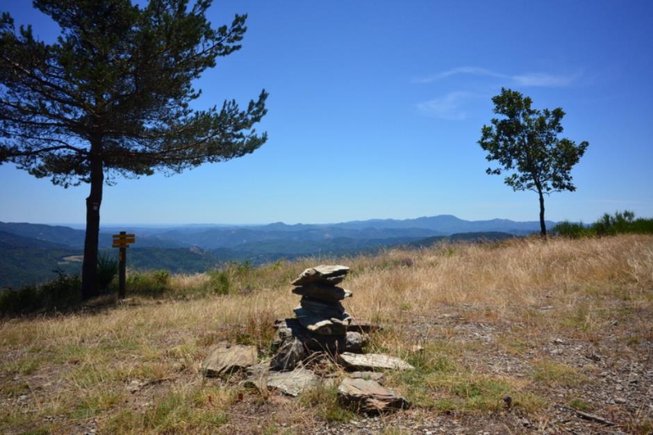
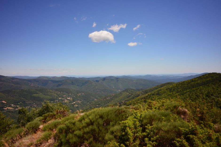
The path follows the draille du Languedoc, used by transhumant shepherds at least since the 12th century. The itinerary is made up of passes and ridges, which offer wide panoramic views of the four Cévennes valleys.
Reception
Min height : 823 m
Max height : 1065 m
Natural regions : Cevennes
Territories : National Park of the Cevennes
Pets accepted : oui
Document language : French
Itinerary
Beacon : Yellow PR
Level : Medium
Distance : 9.4024 km
Duration in hours : 03:30 h
Negative difference : 509 m
Positive difference : 509 m
Loop itinerary : yes
Useful tips
Steep ascent on the draille, slippery shale in wet weather.
Information updated on 30/04/24 / Report an error on this offer !