
SENTIER DE DECOUVERTE DE VIALAS - VIALAS


Foot
SENTIER DE DECOUVERTE DE VIALAS
village
-
48220 VIALAS
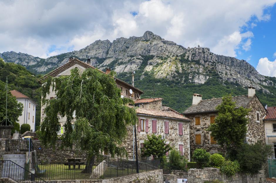
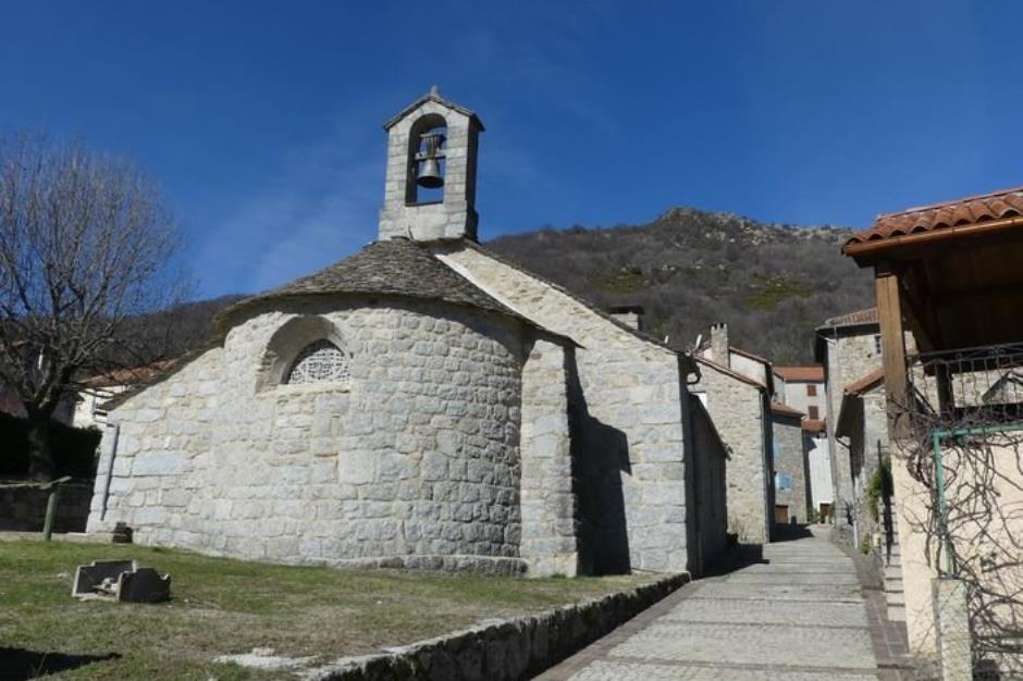
The town of Vialas and the Cévennes National Park invite you to discover the old districts of the village. You can, for example, discover the unique history of the temple of Vialas. Do not hesitate to join La Planche below the village to discover the Bocard silver lead mine and its discovery trail.
On this village path, no signage. The 13 explanatory panels, distributed in the village are independent of each other. You will meet them as you move through the streets or you can discover them in order using the map or the gpx track.
Allow about an hour and a half to cover this route without any particular difficulty.
Reception
Min height : 581 m
Max height : 638 m
Natural regions : Cevennes • Mont Lozere
Territories : National Park of the Cevennes
Document language : French
Reservation
Itinerary
Beacon : Interpretive Trail
Level : Easy
Distance : 3.4 km
Duration in hours : 01:30 h
Negative difference : 173 m
Positive difference : 173 m
Loop itinerary : no
Useful tips
Comptez environ une heure et demie pour parcourir ce tracé sans difficulté particulière.
Information updated on 06/04/23 / Report an error on this offer !