
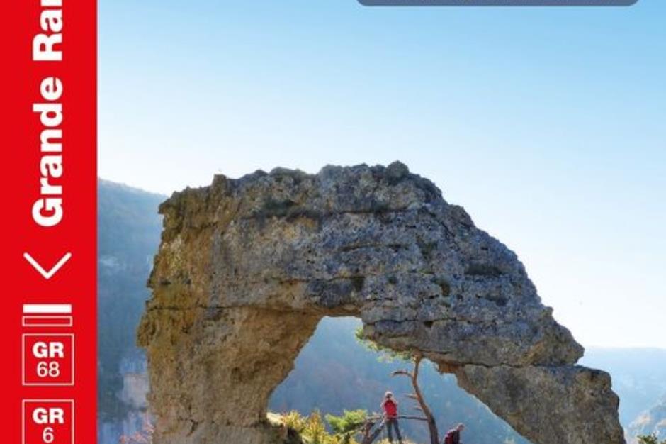
GR® 68, the Mont Lozère circuit - VILLEFORT
Foot
GR® 68, the Mont Lozère circuit
48800 VILLEFORT
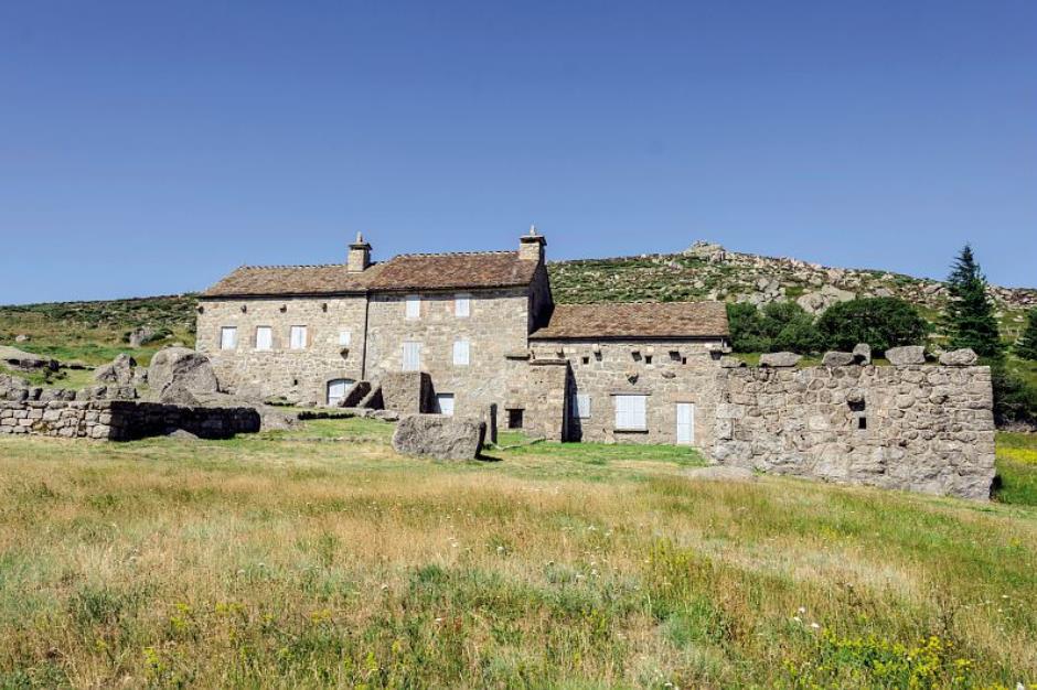
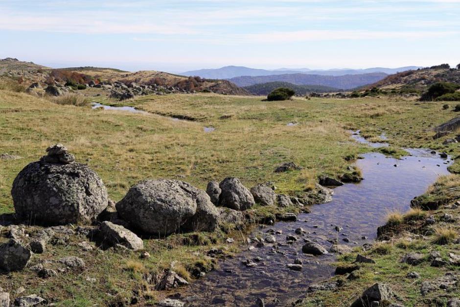
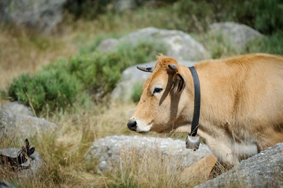
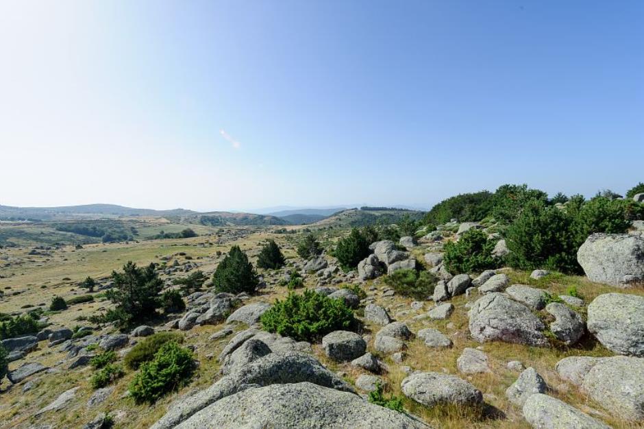
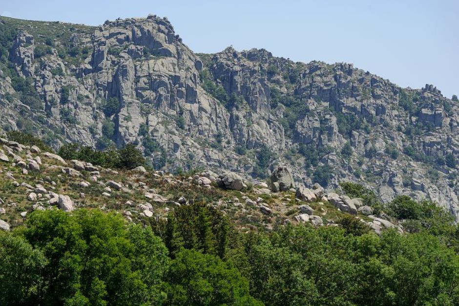
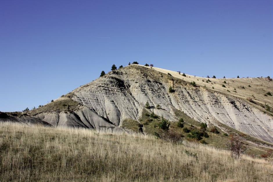
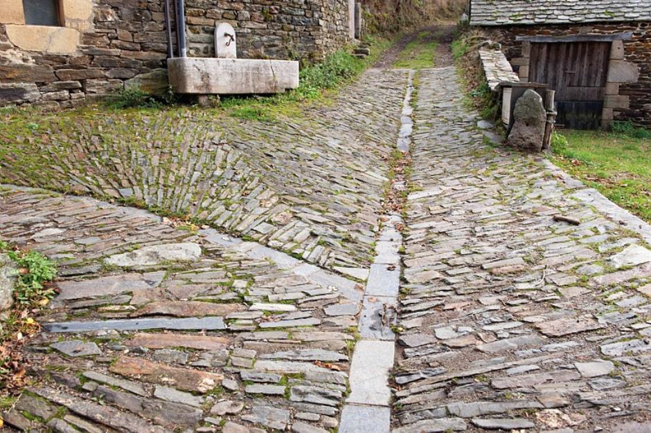
Whether with family or friends or on your own, discover the scenery of Mont Lozère. Amidst contrasting landscapes, this path reveals many elements of agropastoralism: drovers’ roads, terraced cropland, farms, open areas, itinerant shepherds, sheep… You will be hiking on old mule tracks, now disused in favour of more comfortable routes, passing belltowers, which bear witness to a time when the rude winters cut off villages from all outside contact. This is a solitary country of heath and granite, but also an authentic one, where a welcome always awaits you.
Reception
Min height : 534 m
Max height : 1453 m
Natural regions : Mont Lozere
Territories : National Park of the Cevennes
Itinerary
Beacon : White and red GR
Level : Medium
Distance : 116.731 km
Duration in days : 6 j
Negative difference : 4969 m
Positive difference : 4969 m
Loop itinerary : no
Access : Villefort on the D 906 from Génolhac or the D 901 from Le Bleymard. Villefort
Useful tips
NB: For various reasons, the waymarked path may differ from that shown in the topographic guidebook: please follow the waymarks on the trail. Make sure your equipment is appropriate for several days of hiking as well as the day’s weather conditions. Remember that the weather changes quickly in the mountains. Take enough water, wear sturdy shoes and put on a hat. Please close all gates and barriers behind you. As you approach any flock of sheep, be aware that they have guard dogs (patous): get information from a tourist office or National Park information centre on how to behave around these dogs. Bivouacking alongside GR trails in the National Park’s central zone is regulated and, on some stretches, prohibited.

Information updated on 29/04/24 / Report an error on this offer !