
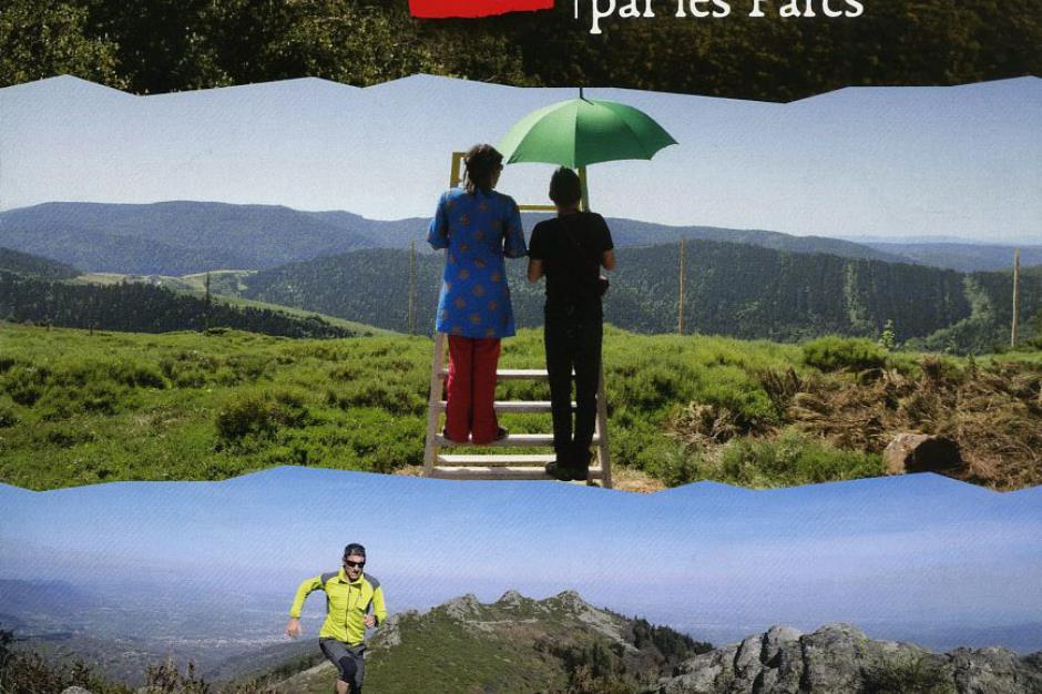
GR®7 - LA BASTIDE-PUYLAURENT

Foot
GR®7
48250 LA BASTIDE-PUYLAURENT
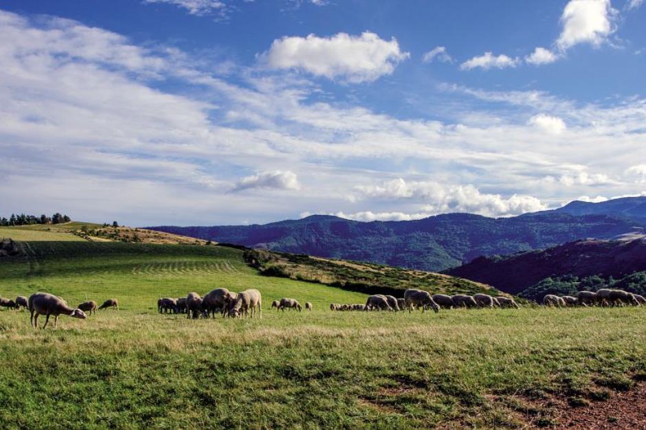
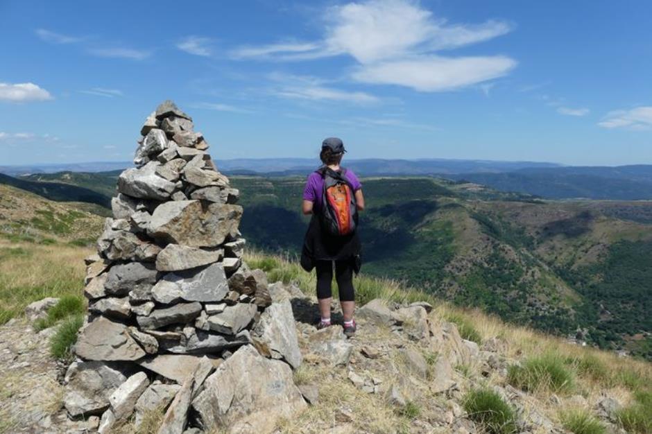
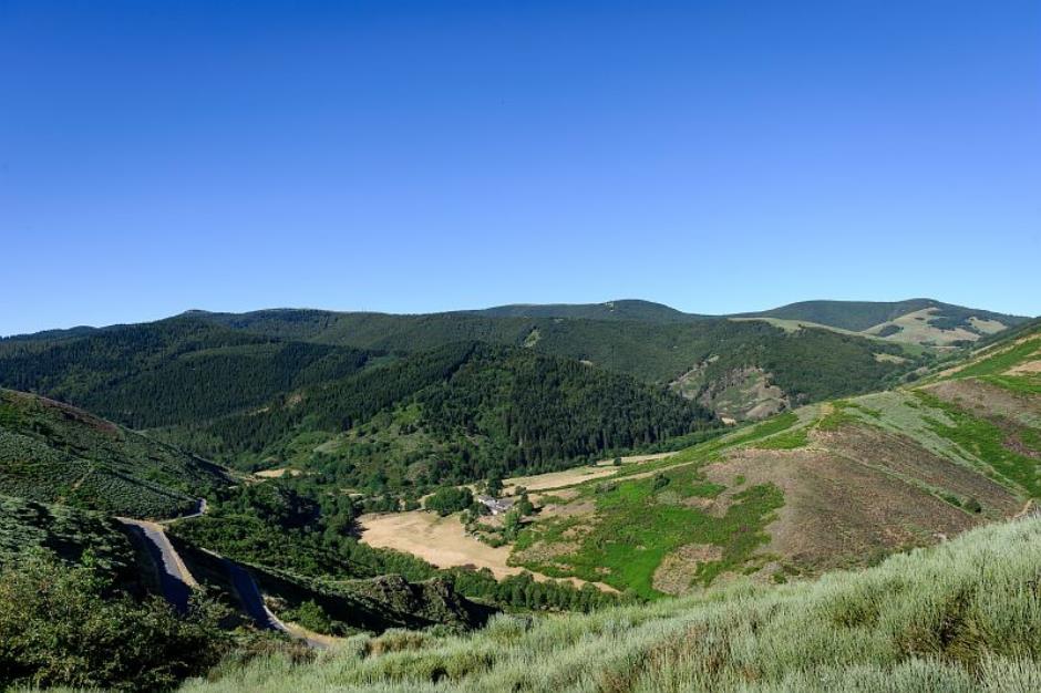
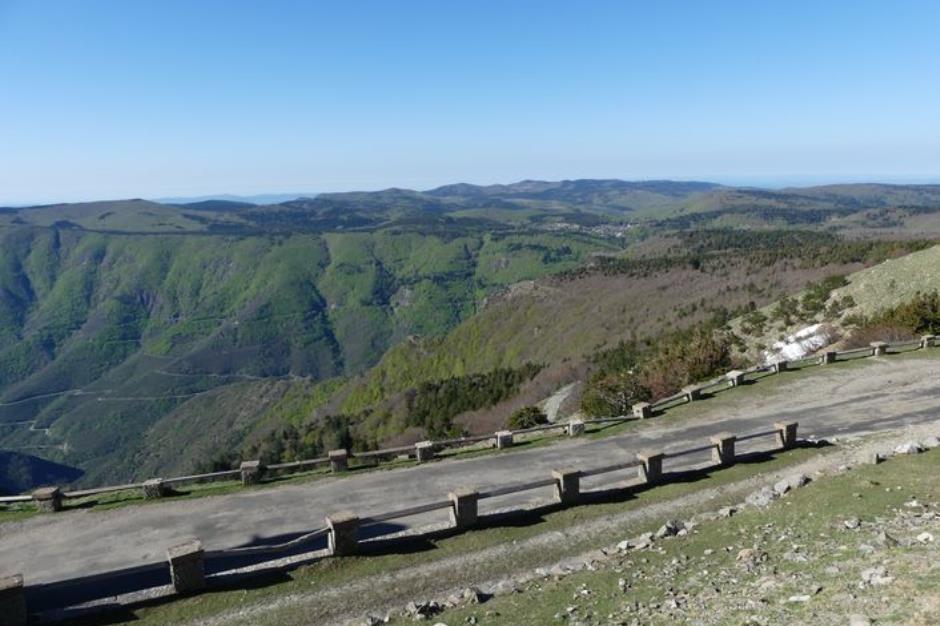
This long-distance trail takes you on a journey from the Vosges to the Pyrenees. It roughly follows the watershed: on one side are the waterways that converge towards the Mediterranean; on the other, those that flow into the English Channel and Atlantic. The route crosses highly characteristic sites. Starting at the Ballons d’Alsace passes, it traverses the Regional Nature Reserve of the Ballons des Vosges. It then briefly veers into the Haute-Marne department before crisscrossing Burgundy, leading from Dijon to the uplands of the Auvergne-Rhône-Alpes and Occitanie regions. Passing through three Regional Nature Reserves (Pilat, Monts d’Ardèche, Haut-Languedoc) and the Cévennes National Park, it ends in Andorra via the Pyrénées Catalanes Regional Nature Reserve and Cathar country.
Reception
Min height : 224 m
Max height : 1570 m
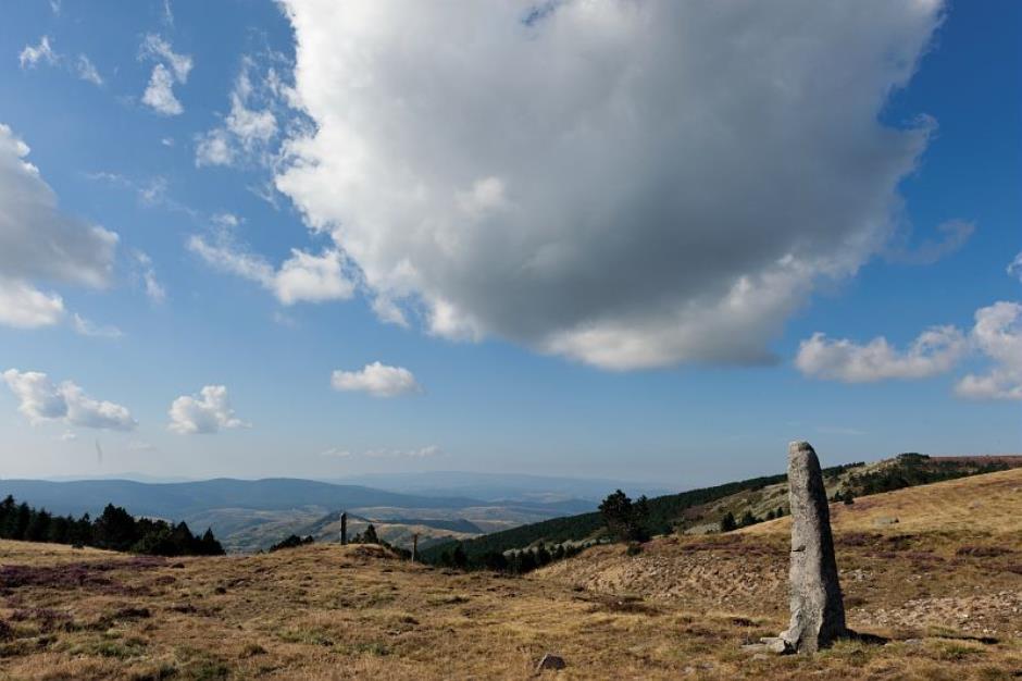
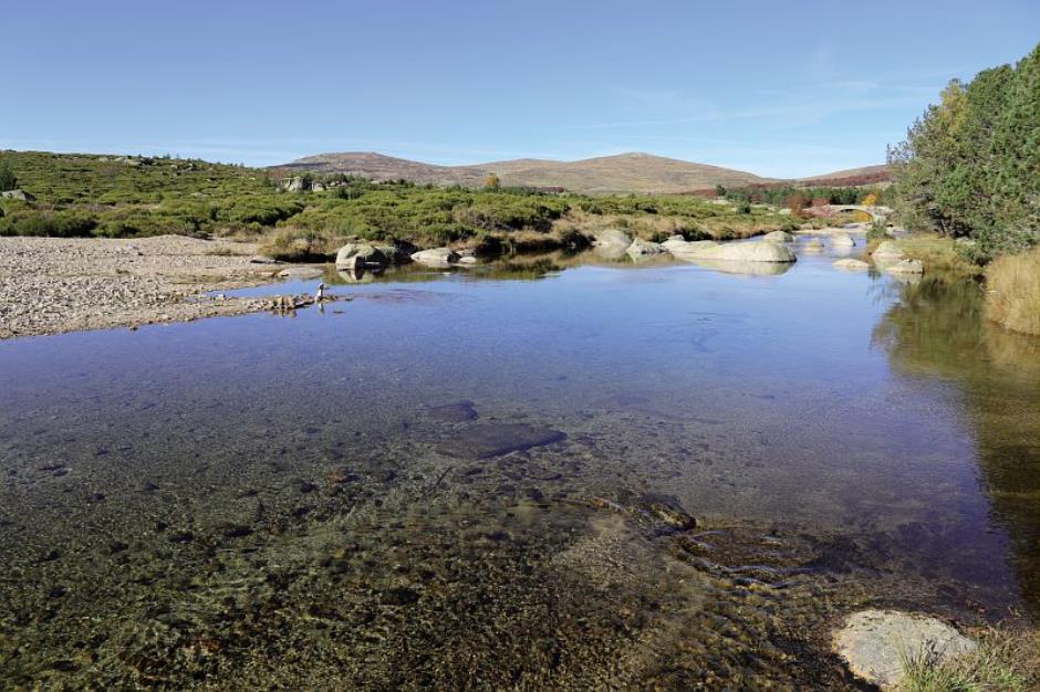
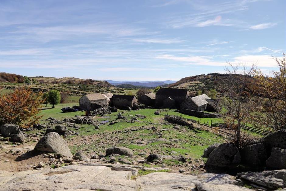
Natural regions : Margeride • Cevennes • Mont Lozere
Territories : National Park of the Cevennes
Itinerary
Beacon : White and red GR
Level : Medium
Distance : 139.633 km
Duration in days : 7 j
Negative difference : 5368 m
Positive difference : 4564 m
Loop itinerary : no
Useful tips
NB: For various reasons, the waymarked path may differ from that shown in the topographic guidebook: please follow the waymarks on the trail. Make sure your equipment is appropriate for several days of hiking as well as the day’s weather conditions. Remember that the weather changes quickly in the mountains. Take enough water, wear sturdy shoes and put on a hat. Please close all gates and barriers behind you.
LA BASTIDE-PUYLAURENT - OFFICE DE TOURISME DE VILLEFORT
LA BASTIDE-PUYLAURENT
Information updated on 29/04/24 / Report an error on this offer !