
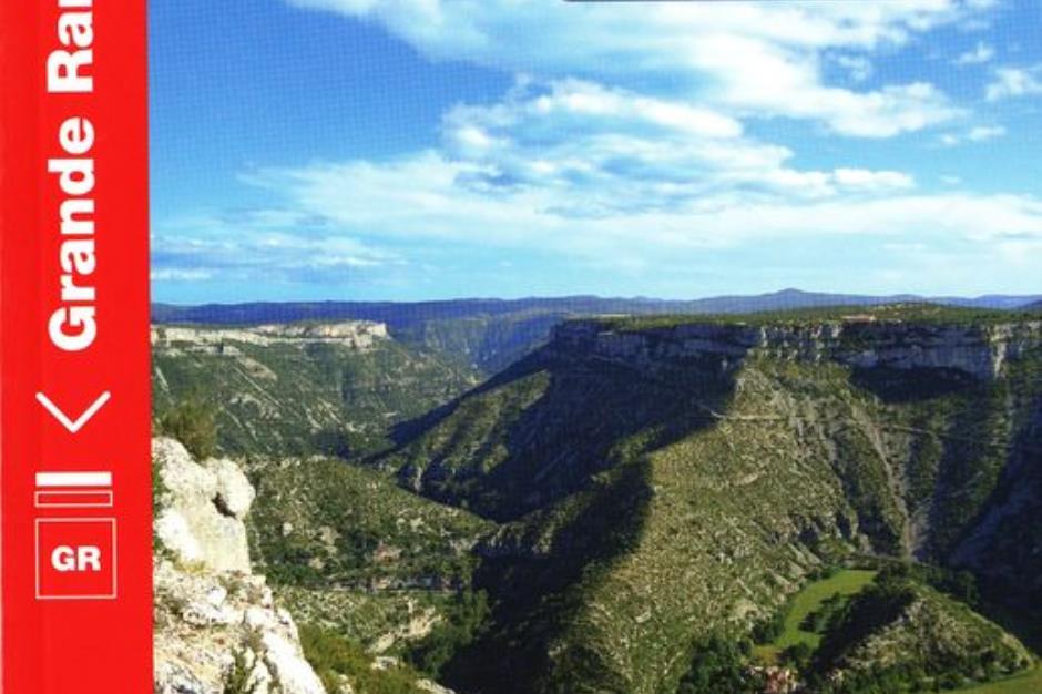
The Saint-Guilhem-le-Désert trail - GORGES DU TARN CAUSSES
Foot
The Saint-Guilhem-le-Désert trail
48210 GORGES DU TARN CAUSSES
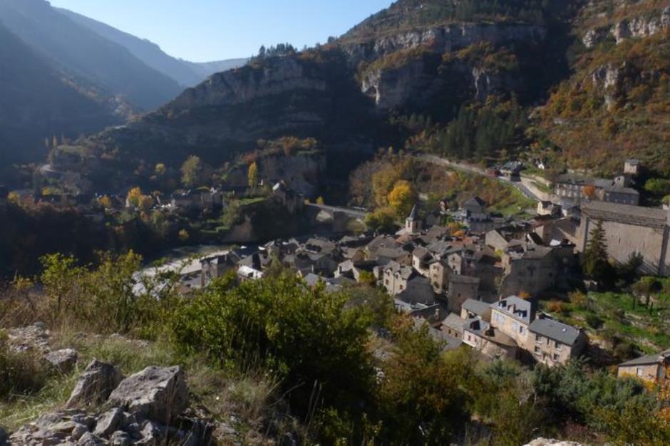
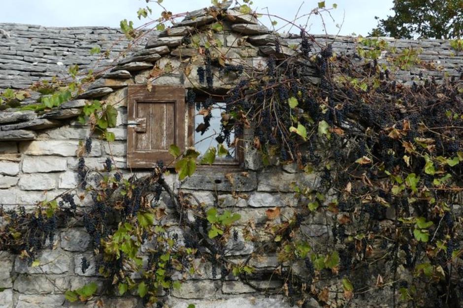
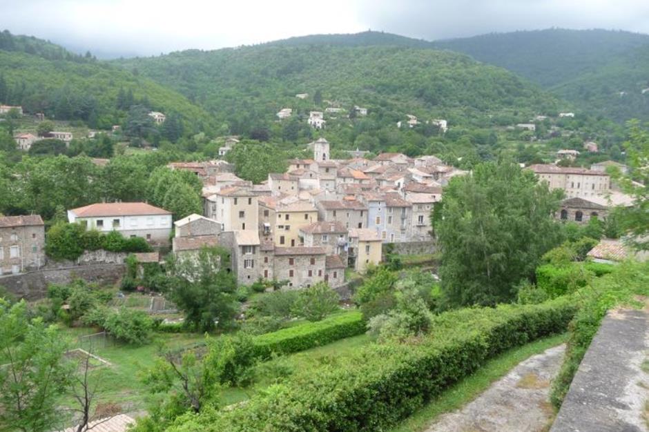
From Antiquity onwards, this trail was used as a drovers’ road and trade route to link the Aubrac uplands to the garrigues (arid shrubland) of the Languedoc. It leads past a stunning variety of architecture and landscapes. Hikers or pilgrims coming from the plateaux to the gorges, from the Aigoual massif to the Cirque de Navacelles, will complete their long journey in the picturesque village which gave the trail its name!
Reception
Min height : 223 m
Max height : 1330 m
Natural regions : Margeride • Vallee du Lot • Gorges du Tarn • Gorges de la Jonte • Causse de Sauveterre • Causse Mejean
Territories : National Park of the Cevennes
Itinerary
Beacon : White and red GR
Level : Medium
Distance : 81.33 km
Duration in days : 4 j
Negative difference : 3383 m
Positive difference : 2703 m
Loop itinerary : no
Useful tips
NB: For various reasons, the waymarked path may differ from that shown in the topographic guidebook: please follow the waymarks on the trail. Make sure your equipment is appropriate for several days of hiking as well as the day’s weather conditions. Remember that the weather changes quickly in the mountains. Take enough water, wear sturdy shoes and put on a hat. Please close all gates and barriers after yourself.

OFFICE DE TOURISME CEVENNES GORGES DU TARN - ANTENNE DE SAINTE ENIMIE
GORGES DU TARN CAUSSES
Information updated on 09/02/26 / Report an error on this offer !